Elected Officials
Courts
Departments
Initiatives
Open Government
About
Login / Register
Home
/
Property & Tax Records
/
Property Records
/
Property & Tax Search
/
Parcel Profile
/
Print View
Search for Another Parcel
Parcel Profile
Historical Card
Sketches
Photos
Tax Map
Taxes
Print View
Print This Page
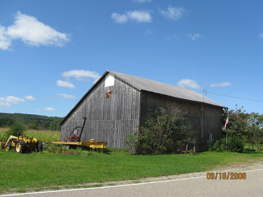
Address: ARBUCKLE RD
Parcel: 02001001000600
Parcel Profile
Address
0 | ARBUCKLE | RD
Street Status
PAVED
School District
WATTSBURG SCHOOL
Acreage
17.4800
Classification
F
Land Use Code
OUT BUILDINGS ONLY: NOT LIVING UNITS
Legal Description
ARBUCKLE RD 17.480 AC NET | 17.772 AC GR MANSION LAW SEE PCL 47-5-16-3
Topo
BELOW STREET
Utility
WELL | SEPTIC
Zoning
Please contact your municipal zoning officer
Deed Book
2015
Deed Page
014038
2026 Tax Values
Land Value / Taxable
30,400 / 30,400.00
Building Value / Taxable
1,800 / 1,800.00
Total Value / Taxable
32,200 / 32,200.00
Clean & Green
Inactive
Homestead Status
Inactive
Farmstead Status
Inactive
Lerta Amount
0
Lerta Expiration Year
0
Other Buildings & Yards
No OBY Data Found
Sales History
Sale Date
Type
Price
Book / Page
Other Info
7/6/2015
LAND & BUILDING
0
2015 / 014038
SPECIAL WARRANTY DEED
1/30/2004
LAND & BUILDING
0
1104 / 0792
FIDUCIARY DEED
12/9/1999
0
0677 / 2251
10/26/1936
0
0374 / 0682
Parcel Sketches
Invalid Parcel Number or No Sketches on File
Parcel Images
Please note:
this tab is for informational purposes only and may not show all delinquencies, see the Taxes tab for more accurate delinquent taxes due.