Elected Officials
Courts
Departments
Initiatives
Open Government
About
Login / Register
Home
/
Property & Tax Records
/
Property Records
/
Property & Tax Search
/
Parcel Profile
/
Print View
Search for Another Parcel
Parcel Profile
Historical Card
Sketches
Photos
Tax Map
Taxes
Print View
Print This Page
Address: W WASHINGTON ST EXT
Parcel: 03003006000500
Parcel Profile
Address
0 | W | WASHINGTON | ST | EXT
Street Status
SEMI IMPROVED
School District
CORRY AREA SCHOOL
Acreage
68.3600
Classification
F
Land Use Code
OUT BUILDINGS ONLY: NOT LIVING UNITS
Legal Description
W WASHINGTON ST EXT TR 50 68.36 AC
Topo
LEVEL
Utility
NONE
Zoning
Please contact your municipal zoning officer
Deed Book
2018
Deed Page
019712
2026 Tax Values
Land Value / Taxable
45,200 / 45,200.00
Building Value / Taxable
3,400 / 3,400.00
Total Value / Taxable
48,600 / 48,600.00
Clean & Green
Inactive
Homestead Status
Inactive
Farmstead Status
Inactive
Lerta Amount
0
Lerta Expiration Year
0
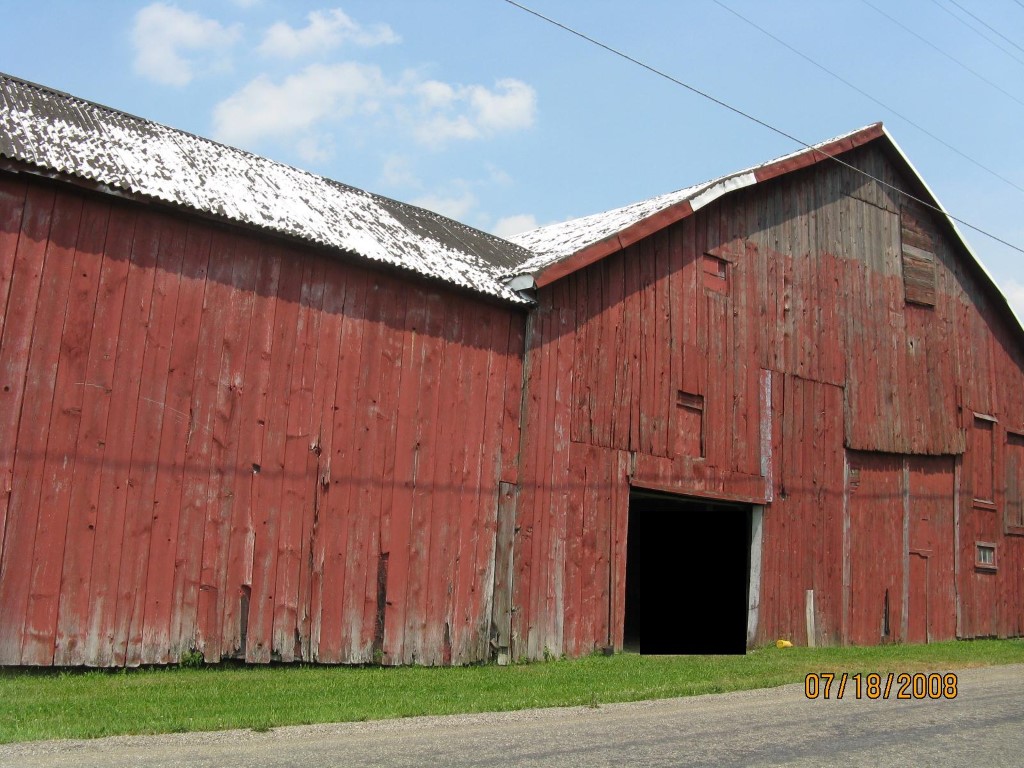
Other Buildings & Yards
Description
Built
Width
Length
Area
FLAT BARN
1900
46
58
2668
FLAT BARN ADDITION
1900
20
26
520
FRAME UTILITY SHED
1960
9
13
117
FRAME UTILITY SHED
1960
10
13
130
Sales History
Sale Date
Type
Price
Book / Page
Other Info
9/24/2018
LAND & BUILDING
20000
2018 / 019712
WARRANTY/SURVIVORSHIP DEED
9/26/1975
0
1174 / 0244
Parcel Sketches
Invalid Parcel Number or No Sketches on File
Parcel Images
Please note:
this tab is for informational purposes only and may not show all delinquencies, see the Taxes tab for more accurate delinquent taxes due.