Elected Officials
Courts
Departments
Initiatives
Open Government
About
Login / Register
Home
/
Property & Tax Records
/
Property Records
/
Property & Tax Search
/
Parcel Profile
/
Print View
Search for Another Parcel
Parcel Profile
Historical Card
Sketches
Photos
Tax Map
Taxes
Print View
Print This Page
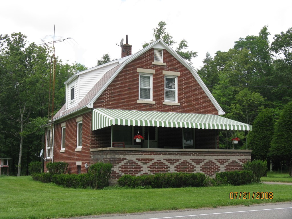
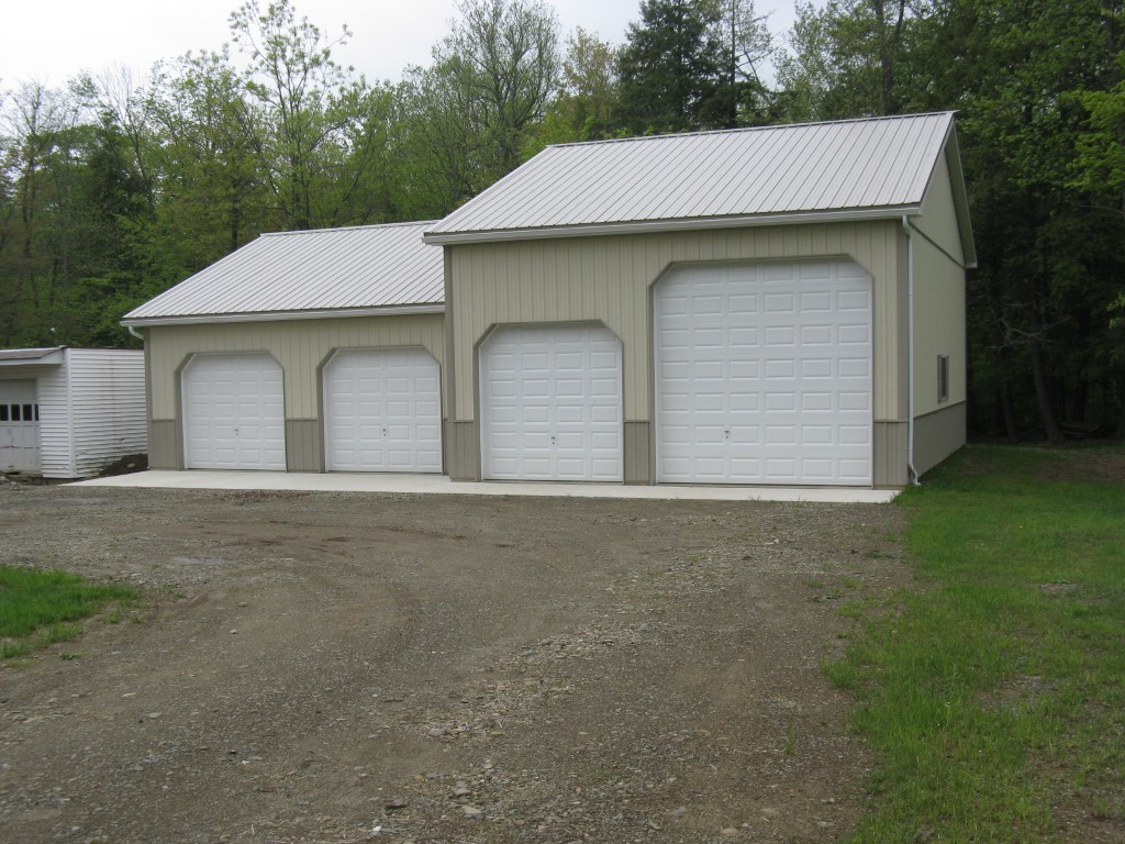
Address: 20050 SPARTANSBURG HWY
Parcel: 03004008002500
Parcel Profile
Address
20050 | SPARTANSBURG | HWY
Street Status
PAVED
School District
CORRY AREA SCHOOL
Acreage
7.0000
Classification
R
Land Use Code
SINGLE FAMILY
Legal Description
20050 SPARTANSBURG HWY 7 AC
Square Feet
1416
Topo
LEVEL | ROLLING
Utility
GAS | WELL | SEPTIC
Zoning
Please contact your municipal zoning officer
Deed Book
1524
Deed Page
0051
2026 Tax Values
Land Value / Taxable
17,000 / 17,000.00
Building Value / Taxable
72,500 / 72,500.00
Total Value / Taxable
89,500 / 89,500.00
Clean & Green
Inactive
Homestead Status
Active
Farmstead Status
Inactive
Lerta Amount
0
Lerta Expiration Year
0
Residential Data
Card 1
Style
CAPE
Basement
FULL
Year Built
1930
Exterior Wall
BRICK
Total Living Area
1416
Full Baths
1
Half Baths
0
Fuel Type
GAS
Heating
CENTRAL
Heating System
FORCED AIR
Stories
1.5
Total Bedrooms
2
Total Family Rooms
0
Total Rooms
5
Fireplaces
0
Other Buildings & Yards
No OBY Data Found
Sales History
Sale Date
Type
Price
Book / Page
Other Info
10/2/2008
LAND & BUILDING
79000
1524 / 0051
WARRANTY/SURVIVORSHIP DEED
1/7/1948
0
0504 / 0351
Parcel Sketches
Residential Card 1
A
MAIN
672 square feet
B
UNFIN BSMT BASEMENT UNFINISHED 1SMAS MASONRY
240 square feet
C
OMP OPEN MASONRY PORCH
240 square feet
Parcel Images
Please note:
this tab is for informational purposes only and may not show all delinquencies, see the Taxes tab for more accurate delinquent taxes due.