Elected Officials
Courts
Departments
Initiatives
Open Government
About
Login / Register
Home
/
Property & Tax Records
/
Property Records
/
Property & Tax Search
/
Parcel Profile
/
Print View
Search for Another Parcel
Parcel Profile
Historical Card
Sketches
Photos
Tax Map
Taxes
Print View
Print This Page
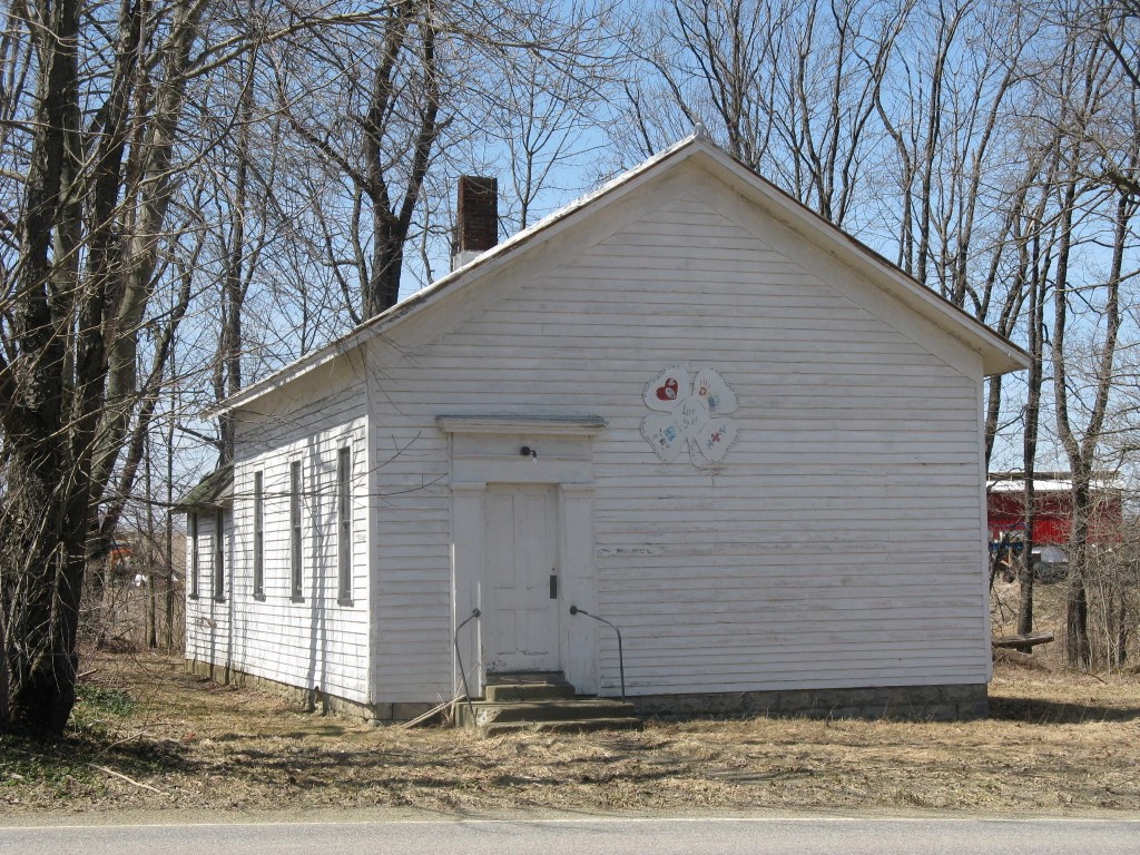
Address: 19470 ROUTE 89
Parcel: 03006017001400
Parcel Profile
Address
19470 | ROUTE 89
Street Status
PAVED
School District
CORRY AREA SCHOOL
Acreage
0.3170
Classification
C
Land Use Code
OFFICE BLDGS/LABS/LIBRARIES
Legal Description
19470 ROUTE 89 120 X 115
Square Feet
1350
Topo
LEVEL
Utility
GAS | WELL
Zoning
Please contact your municipal zoning officer
2026 Tax Values
Land Value / Taxable
3,500 / 3,500.00
Building Value / Taxable
18,000 / 18,000.00
Total Value / Taxable
21,500 / 21,500.00
Clean & Green
Inactive
Homestead Status
Inactive
Farmstead Status
Inactive
Lerta Amount
0
Lerta Expiration Year
0
Commercial Data
Card 1
CLUB HOUSE
Business Living Area - 1350
Year Built - 1900
Improvement Name - COMMUNITY BUILDING
Value - 12280
Other Buildings & Yards
No OBY Data Found
Sales History
No Sales History Found
Parcel Sketches
Commercial Card 1
A
MAIN
1350 square feet
Parcel Images
Please note:
this tab is for informational purposes only and may not show all delinquencies, see the Taxes tab for more accurate delinquent taxes due.