Elected Officials
Courts
Departments
Initiatives
Open Government
About
Login / Register
Home
/
Property & Tax Records
/
Property Records
/
Property & Tax Search
/
Parcel Profile
/
Print View
Search for Another Parcel
Parcel Profile
Historical Card
Sketches
Photos
Tax Map
Taxes
Print View
Print This Page
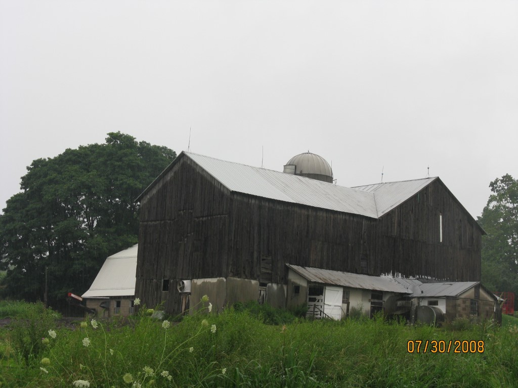
Address: ORMSBEE RD
Parcel: 03009032000601
Parcel Profile
Address
0 | ORMSBEE | RD
Street Status
UNPAVED
School District
CORRY AREA SCHOOL
Acreage
68.4000
Classification
F
Land Use Code
OUT BUILDINGS ONLY: NOT LIVING UNITS
Legal Description
ORMSBEE RD | PCL 2 68.407 AC CAL
Topo
ROLLING
Utility
NONE
Zoning
Please contact your municipal zoning officer
Deed Book
0333
Deed Page
1648
2026 Tax Values
Land Value / Taxable
60,600 / 37,200.00
Building Value / Taxable
19,900 / 19,900.00
Total Value / Taxable
80,500 / 57,100.00
Clean & Green
Active
Homestead Status
Inactive
Farmstead Status
Inactive
Lerta Amount
0
Lerta Expiration Year
0
Other Buildings & Yards
No OBY Data Found
Sales History
Sale Date
Type
Price
Book / Page
Other Info
5/11/1994
0
0333 / 1648
Parcel Sketches
Invalid Parcel Number or No Sketches on File
Parcel Images
Please note:
this tab is for informational purposes only and may not show all delinquencies, see the Taxes tab for more accurate delinquent taxes due.