Elected Officials
Courts
Departments
Initiatives
Open Government
About
Login / Register
Home
/
Property & Tax Records
/
Property Records
/
Property & Tax Search
/
Parcel Profile
/
Print View
Search for Another Parcel
Parcel Profile
Historical Card
Sketches
Photos
Tax Map
Taxes
Print View
Print This Page
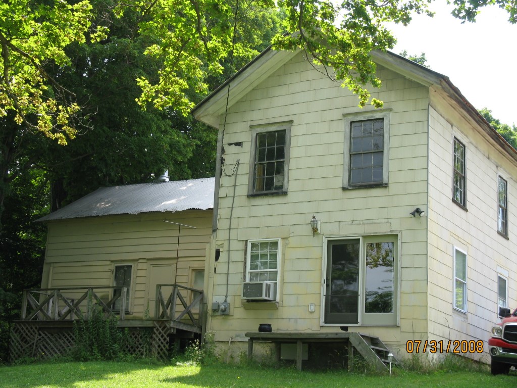
Address: 12561 STEWART RD
Parcel: 03009034000200
Parcel Profile
Address
12561 | STEWART | RD
Street Status
UNPAVED
School District
CORRY AREA SCHOOL
Acreage
10.0000
Classification
F
Land Use Code
10-19.99 ACRES
Legal Description
12561 STEWART RD 10 AC
Square Feet
1861
Topo
ABOVE STREET
Utility
WELL
Zoning
Please contact your municipal zoning officer
Deed Book
0624
Deed Page
0015
2026 Tax Values
Land Value / Taxable
14,300 / 14,300.00
Building Value / Taxable
24,900 / 24,900.00
Total Value / Taxable
39,200 / 39,200.00
Clean & Green
Inactive
Homestead Status
Active
Farmstead Status
Inactive
Lerta Amount
0
Lerta Expiration Year
0
Residential Data
Card 1
Style
OLD STYLE
Basement
PART
Year Built
1880
Exterior Wall
COMPOSITION
Total Living Area
1861
Full Baths
1
Half Baths
0
Fuel Type
OIL
Heating
CENTRAL
Heating System
FORCED AIR
Stories
2.0
Total Bedrooms
3
Total Family Rooms
1
Total Rooms
8
Fireplaces
0
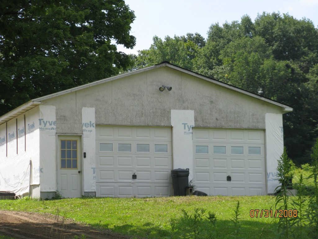
Other Buildings & Yards
No OBY Data Found
Sales History
Sale Date
Type
Price
Book / Page
Other Info
3/17/1999
LAND & BUILDING
31500
0624 / 0015
Parcel Sketches
Residential Card 1
A
MAIN
468 square feet
B
UNFIN BSMT BASEMENT UNFINISHED 1S FR ONE STORY FRAME AT FN ATTIC-FINISHED
432 square feet
C
1S FR ONE STORY FRAME AT UN ATTIC-UNFINISHED
320 square feet
D
EFP ENCL FRAME PORCH
96 square feet
E
WDDCK WOOD DECKS
192 square feet
Parcel Images
Please note:
this tab is for informational purposes only and may not show all delinquencies, see the Taxes tab for more accurate delinquent taxes due.