Elected Officials
Courts
Departments
Initiatives
Open Government
About
Login / Register
Home
/
Property & Tax Records
/
Property Records
/
Property & Tax Search
/
Parcel Profile
/
Print View
Search for Another Parcel
Parcel Profile
Historical Card
Sketches
Photos
Tax Map
Taxes
Print View
Print This Page
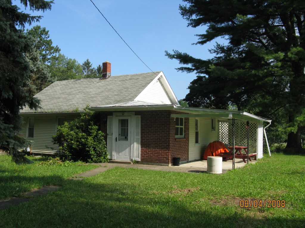
Address: 20015 SPARTANSBURG RD
Parcel: 03011010000102
Parcel Profile
Address
20015 | SPARTANSBURG | RD
Street Status
PAVED
School District
CORRY AREA SCHOOL
Acreage
25.0000
Classification
F
Land Use Code
20 - 79.99 ACRES
Legal Description
20015 SPARTANSBURG HGWY 25 AC
Square Feet
1701
Topo
LEVEL | ROLLING
Utility
PUBLIC WATER | GAS | SEPTIC
Zoning
Please contact your municipal zoning officer
Deed Book
2023
Deed Page
021840
2026 Tax Values
Land Value / Taxable
29,100 / 29,100.00
Building Value / Taxable
45,850 / 45,850.00
Total Value / Taxable
74,950 / 74,950.00
Clean & Green
Inactive
Homestead Status
Inactive
Farmstead Status
Inactive
Lerta Amount
0
Lerta Expiration Year
0
Residential Data
Card 1
Style
BUNGALOW
Basement
FULL
Year Built
1935
Exterior Wall
ALUMINUM/VINYL
Total Living Area
1701
Full Baths
1
Half Baths
0
Fuel Type
GAS
Heating
CENTRAL
Heating System
FORCED AIR
Stories
1.5
Total Bedrooms
2
Total Family Rooms
0
Total Rooms
5
Fireplaces
1
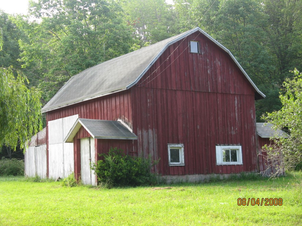
Other Buildings & Yards
No OBY Data Found
Sales History
Sale Date
Type
Price
Book / Page
Other Info
12/18/2023
LAND & BUILDING
155000
2023 / 021840
SPECIAL WARRANTY DEED
2/16/1984
0
1525 / 0485
Parcel Sketches
Residential Card 1
A
MAIN
672 square feet
B
EFP ENCL FRAME PORCH
176 square feet
C
1S FR ONE STORY FRAME 1/2FR FRAME HALF-STORY
264 square feet
D
OFP OPEN FRAME PORCH
189 square feet
E
EMP ENCL MASONRY PORCH 1/2FR FRAME HALF-STORY
84 square feet
F
MA STOOP/TERR MAS STOOP
20 square feet
Parcel Images
Please note:
this tab is for informational purposes only and may not show all delinquencies, see the Taxes tab for more accurate delinquent taxes due.