Elected Officials
Courts
Departments
Initiatives
Open Government
About
Login / Register
Home
/
Property & Tax Records
/
Property Records
/
Property & Tax Search
/
Parcel Profile
/
Print View
Search for Another Parcel
Parcel Profile
Historical Card
Sketches
Photos
Tax Map
Taxes
Print View
Print This Page
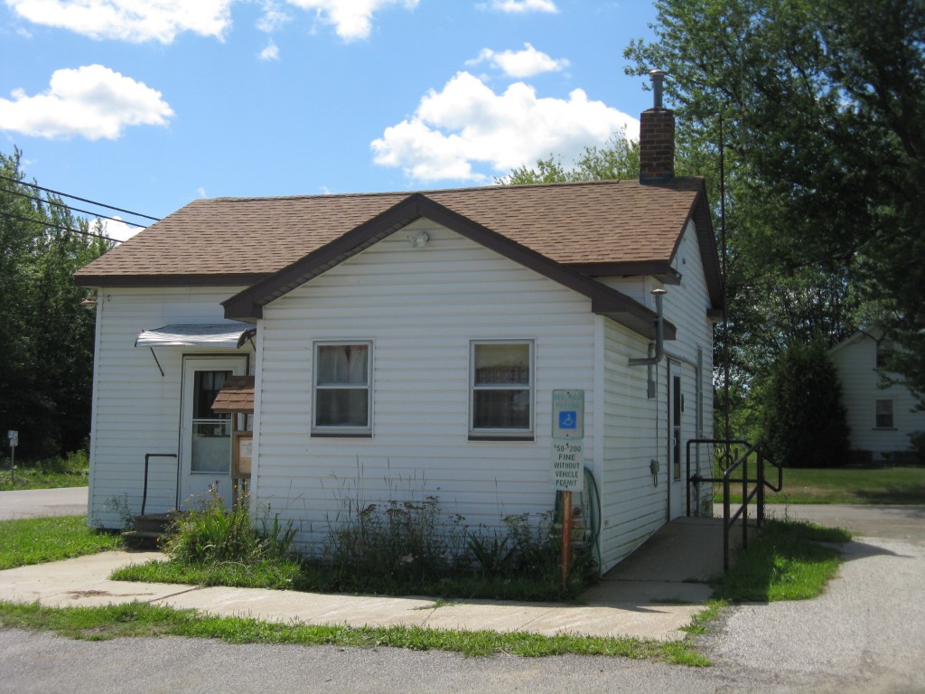
Address: 12500 ROUTE 6N
Parcel: 04010030002200
Parcel Profile
Address
12500 | ROUTE 6N
Street Status
PAVED
School District
NORTHWESTERN SCHOOL
Acreage
1.1500
Classification
E
Land Use Code
EXEMPT LOCAL GOVERNMENT (TWP & BORO)
Legal Description
12500 US ROUTE 6N 1.15 AC
Square Feet
2394
Topo
LEVEL
Utility
WELL | SEPTIC
Zoning
Please contact your municipal zoning officer
Deed Book
0858
Deed Page
0288
2026 Tax Values
Land Value / Taxable
23,000 / 23,000.00
Building Value / Taxable
26,500 / 26,500.00
Total Value / Taxable
49,500 / 49,500.00
Clean & Green
Inactive
Homestead Status
Inactive
Farmstead Status
Inactive
Lerta Amount
0
Lerta Expiration Year
0
Commercial Data
Card 1
MIXED RESIDENTIAL/COMMERCIAL
Business Living Area - 666
Year Built - 1900
Improvement Name - TOWNHALL
Value - 13640
Card 2
WAREHOUSE
Business Living Area - 1728
Year Built - 1965
Improvement Name - GARAGE
Value - 12900
Other Buildings & Yards
No OBY Data Found
Sales History
Sale Date
Type
Price
Book / Page
Other Info
6/6/1972
0
0858 / 0288
Parcel Sketches
Commercial Card 1
A
MAIN
666 square feet
Commercial Card 2
A
MAIN
1728 square feet
Parcel Images
Please note:
this tab is for informational purposes only and may not show all delinquencies, see the Taxes tab for more accurate delinquent taxes due.