Elected Officials
Courts
Departments
Initiatives
Open Government
About
Login / Register
Home
/
Property & Tax Records
/
Property Records
/
Property & Tax Search
/
Parcel Profile
/
Print View
Search for Another Parcel
Parcel Profile
Historical Card
Sketches
Photos
Tax Map
Taxes
Print View
Print This Page
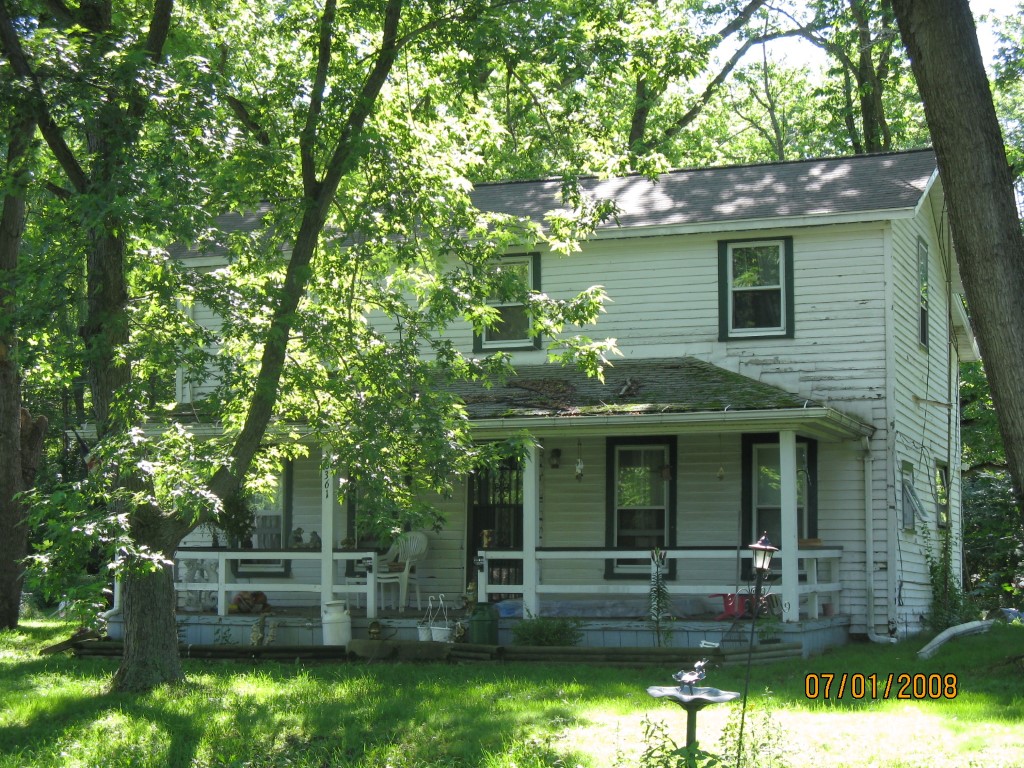
Address: 10361 WANNETA RD
Parcel: 04017047000300
Parcel Profile
Address
10361 | WANNETA | RD
Street Status
PAVED
School District
NORTHWESTERN SCHOOL
Acreage
2.0000
Classification
R
Land Use Code
SINGLE FAMILY
Legal Description
10361 WANNETA RD 2 AC
Square Feet
1454
Topo
LEVEL
Utility
GAS | WELL | SEPTIC
Zoning
Please contact your municipal zoning officer
Deed Book
1217
Deed Page
1524
2026 Tax Values
Land Value / Taxable
24,200 / 24,200.00
Building Value / Taxable
50,100 / 50,100.00
Total Value / Taxable
74,300 / 74,300.00
Clean & Green
Inactive
Homestead Status
Active
Farmstead Status
Inactive
Lerta Amount
0
Lerta Expiration Year
0
Residential Data
Card 1
Style
OLD STYLE
Basement
PART
Year Built
1850
Exterior Wall
FRAME
Total Living Area
1454
Full Baths
1
Half Baths
0
Fuel Type
GAS
Heating
CENTRAL
Heating System
FORCED AIR
Stories
2.0
Total Bedrooms
3
Total Family Rooms
0
Total Rooms
8
Fireplaces
0
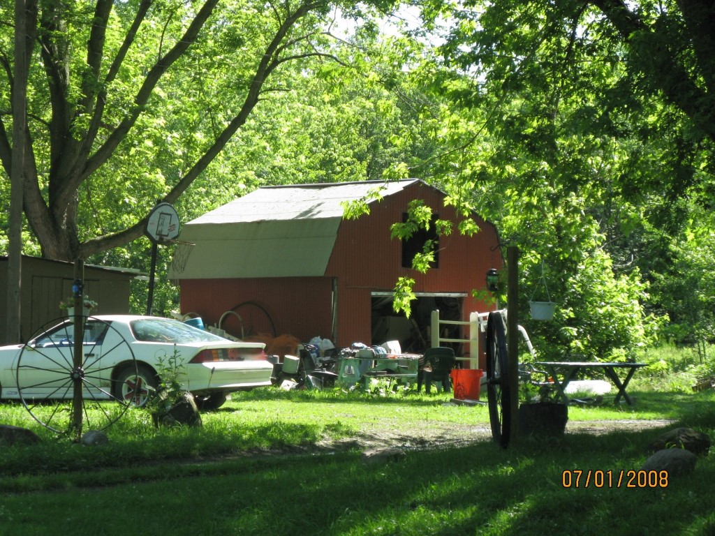
Other Buildings & Yards
No OBY Data Found
Sales History
Sale Date
Type
Price
Book / Page
Other Info
3/15/2005
LAND
50000
1217 / 1524
WARRANTY/SURVIVORSHIP DEED
10/6/1953
0
0662 / 0260
Parcel Sketches
Residential Card 1
A
MAIN
512 square feet
B
OFP OPEN FRAME PORCH
224 square feet
C
OFP OPEN FRAME PORCH
110 square feet
D
1S FR ONE STORY FRAME
130 square feet
E
1S FR ONE STORY FRAME AT UN ATTIC-UNFINISHED
300 square feet
Parcel Images
Please note:
this tab is for informational purposes only and may not show all delinquencies, see the Taxes tab for more accurate delinquent taxes due.