Elected Officials
Courts
Departments
Initiatives
Open Government
About
Login / Register
Home
/
Property & Tax Records
/
Property Records
/
Property & Tax Search
/
Parcel Profile
/
Print View
Search for Another Parcel
Parcel Profile
Historical Card
Sketches
Photos
Tax Map
Taxes
Print View
Print This Page
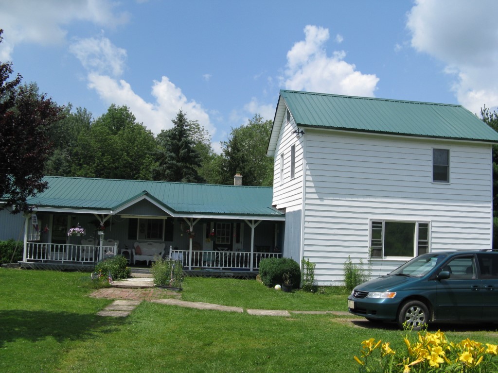
Address: 124 CHESTNUT ST
Parcel: 05039161004101
Parcel Profile
Address
124 | CHESTNUT | ST
Street Status
PAVED
School District
CORRY AREA SCHOOL
Acreage
8.4400
Classification
R
Land Use Code
SINGLE FAMILY
Legal Description
124 CHESTNUT ST TR 52 8.448 AC
Square Feet
2586
Topo
LEVEL
Utility
ALL PUBLIC
Zoning
Please contact your municipal zoning officer
Deed Book
1587
Deed Page
0259
2026 Tax Values
Land Value / Taxable
18,100 / 18,100.00
Building Value / Taxable
60,520 / 60,520.00
Total Value / Taxable
78,620 / 78,620.00
Clean & Green
Inactive
Homestead Status
Active
Farmstead Status
Inactive
Lerta Amount
0
Lerta Expiration Year
0
Residential Data
Card 1
Style
OLD STYLE
Basement
FULL
Year Built
1900
Exterior Wall
ALUMINUM/VINYL
Total Living Area
2586
Full Baths
2
Half Baths
1
Fuel Type
GAS
Heating
CENTRAL
Heating System
HOT WATER
Stories
2.0
Total Bedrooms
3
Total Family Rooms
1
Total Rooms
7
Fireplaces
0
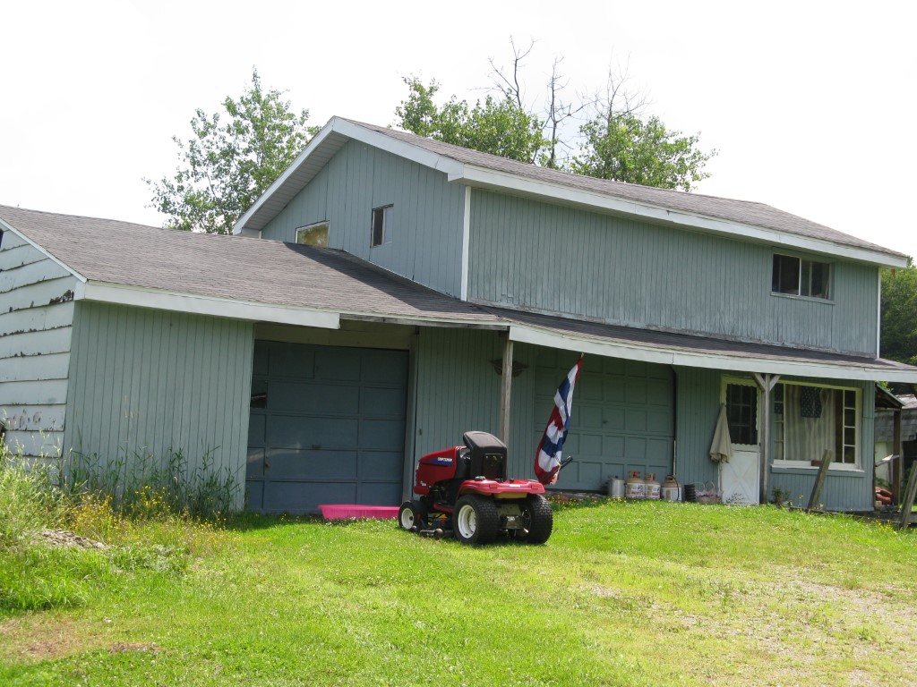
Other Buildings & Yards
No OBY Data Found
Sales History
Sale Date
Type
Price
Book / Page
Other Info
7/11/1985
0
1587 / 0259
Parcel Sketches
Residential Card 1
A
MAIN
500 square feet
B
OFP OPEN FRAME PORCH
272 square feet
C
UNFIN BSMT BASEMENT UNFINISHED 1S FR ONE STORY FRAME
1586 square feet
D
OFP OPEN FRAME PORCH
80 square feet
Parcel Images
Please note:
this tab is for informational purposes only and may not show all delinquencies, see the Taxes tab for more accurate delinquent taxes due.