Elected Officials
Courts
Departments
Initiatives
Open Government
About
Login / Register
Home
/
Property & Tax Records
/
Property Records
/
Property & Tax Search
/
Parcel Profile
/
Print View
Search for Another Parcel
Parcel Profile
Historical Card
Sketches
Photos
Tax Map
Taxes
Print View
Print This Page
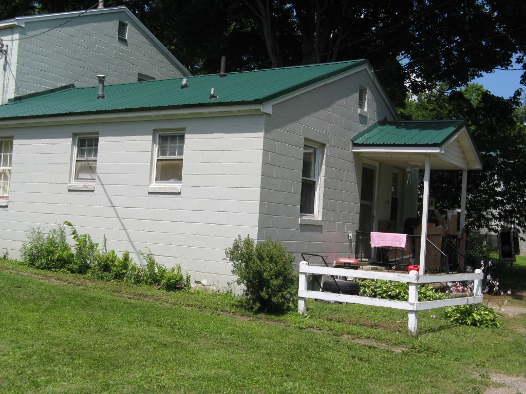
Address: 132 SNYDER CIR
Parcel: 06010019000800
Parcel Profile
Address
132 | SNYDER | CIR
Street Status
PAVED
School District
CORRY AREA SCHOOL
Acreage
0.0985
Classification
R
Land Use Code
SINGLE FAMILY
Legal Description
132 SNYDER CIRCLE 66.73X70.07
Square Feet
775
Topo
ROLLING
Utility
ALL PUBLIC
Zoning
Please contact your municipal zoning officer
Deed Book
2014
Deed Page
009710
2026 Tax Values
Land Value / Taxable
11,000 / 11,000.00
Building Value / Taxable
13,740 / 13,740.00
Total Value / Taxable
24,740 / 24,740.00
Clean & Green
Inactive
Homestead Status
Inactive
Farmstead Status
Inactive
Lerta Amount
0
Lerta Expiration Year
0
Residential Data
Card 1
Style
BUNGALOW
Basement
CRAWL
Year Built
1942
Exterior Wall
BLOCK
Total Living Area
775
Full Baths
1
Half Baths
0
Fuel Type
GAS
Heating
CENTRAL
Heating System
FORCED AIR
Stories
1.0
Total Bedrooms
2
Total Family Rooms
0
Total Rooms
4
Fireplaces
0
Other Buildings & Yards
No OBY Data Found
Sales History
Sale Date
Type
Price
Book / Page
Other Info
5/19/2014
LAND & BUILDING
23000
2014 / 009710
WARRANTY/SURVIVORSHIP DEED
11/22/2006
LAND & BUILDING
20000
1378 / 0459
WARRANTY/SURVIVORSHIP DEED
2/18/1965
LAND & BUILDING
1419
911 / 41
Parcel Sketches
Residential Card 1
A
MAIN
775 square feet
B
OFP OPEN FRAME PORCH
45 square feet
Parcel Images
Please note:
this tab is for informational purposes only and may not show all delinquencies, see the Taxes tab for more accurate delinquent taxes due.