Elected Officials
Courts
Departments
Initiatives
Open Government
About
Login / Register
Home
/
Property & Tax Records
/
Property Records
/
Property & Tax Search
/
Parcel Profile
/
Print View
Search for Another Parcel
Parcel Profile
Historical Card
Sketches
Photos
Tax Map
Taxes
Print View
Print This Page
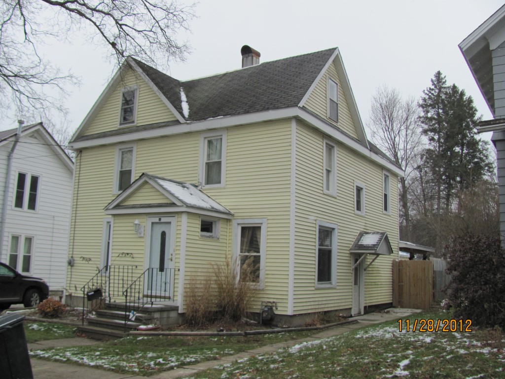
Address: 55 E BOND ST
Parcel: 06015023001500
Parcel Profile
Address
55 | E | BOND | ST
Street Status
PAVED
School District
CORRY AREA SCHOOL
Acreage
0.1515
Classification
R
Land Use Code
SINGLE FAMILY
Legal Description
55 E BOND ST 44 X 150
Square Feet
1936
Topo
LEVEL
Utility
ALL PUBLIC
Zoning
Please contact your municipal zoning officer
Deed Book
2013
Deed Page
028218
2026 Tax Values
Land Value / Taxable
11,900 / 11,900.00
Building Value / Taxable
61,540 / 61,540.00
Total Value / Taxable
73,440 / 73,440.00
Clean & Green
Inactive
Homestead Status
Active
Farmstead Status
Inactive
Lerta Amount
0
Lerta Expiration Year
0
Residential Data
Card 1
Style
OLD STYLE
Basement
FULL
Year Built
1920
Exterior Wall
ALUMINUM/VINYL
Total Living Area
1936
Full Baths
1
Half Baths
1
Fuel Type
GAS
Heating
CENTRAL
Heating System
FORCED AIR
Stories
2.0
Total Bedrooms
4
Total Family Rooms
0
Total Rooms
7
Fireplaces
0
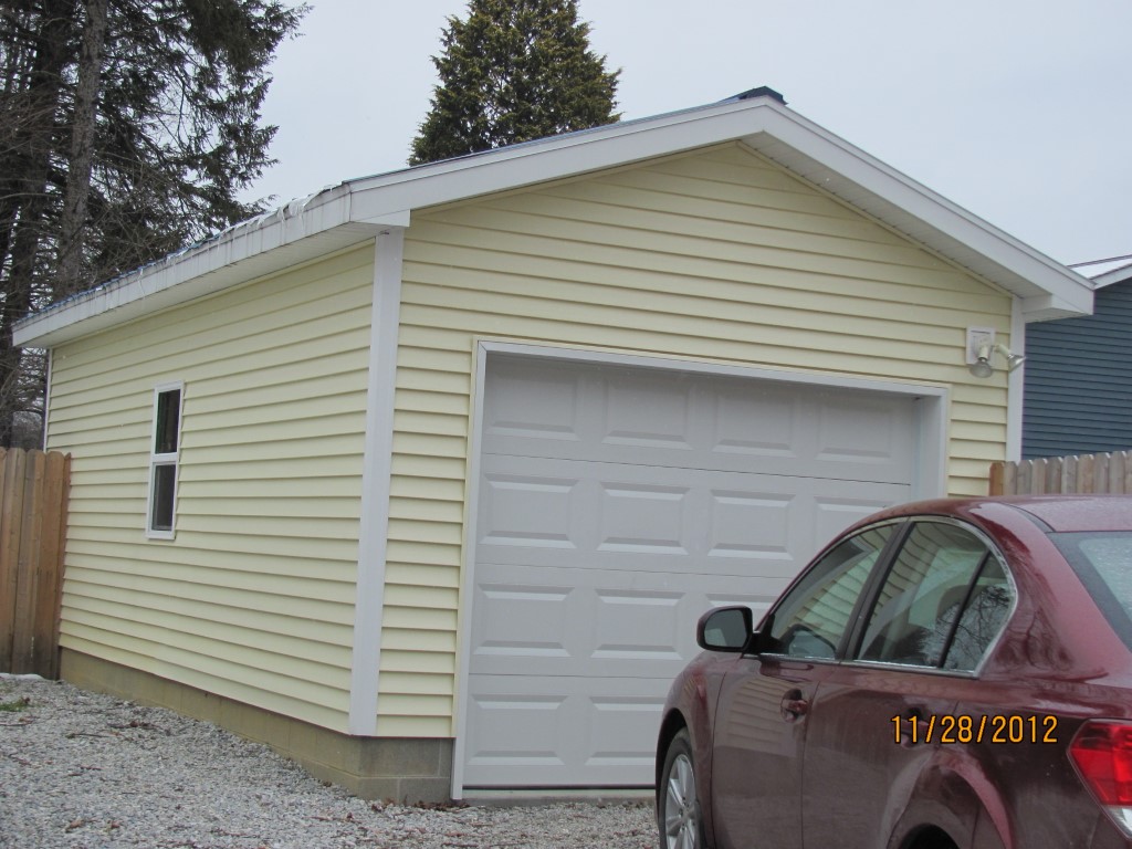
Other Buildings & Yards
Description
Built
Width
Length
Area
FRAME OR CB DETACHED GARAGE
2011
12
24
288
Sales History
Sale Date
Type
Price
Book / Page
Other Info
10/25/2013
LAND & BUILDING
0
2013 / 028218
WARRANTY/SURVIVORSHIP DEED
3/23/2001
LAND & BUILDING
62000
760 / 834
Parcel Sketches
Residential Card 1
A
MAIN
840 square feet
B
EFP ENCL FRAME PORCH
48 square feet
C
MA STOOP/TERR MAS STOOP
20 square feet
D
1S FR ONE STORY FRAME
256 square feet
E
WDDCK WOOD DECKS
98 square feet
Parcel Images
Please note:
this tab is for informational purposes only and may not show all delinquencies, see the Taxes tab for more accurate delinquent taxes due.