Elected Officials
Courts
Departments
Initiatives
Open Government
About
Login / Register
Home
/
Property & Tax Records
/
Property Records
/
Property & Tax Search
/
Parcel Profile
/
Print View
Search for Another Parcel
Parcel Profile
Historical Card
Sketches
Photos
Tax Map
Taxes
Print View
Print This Page
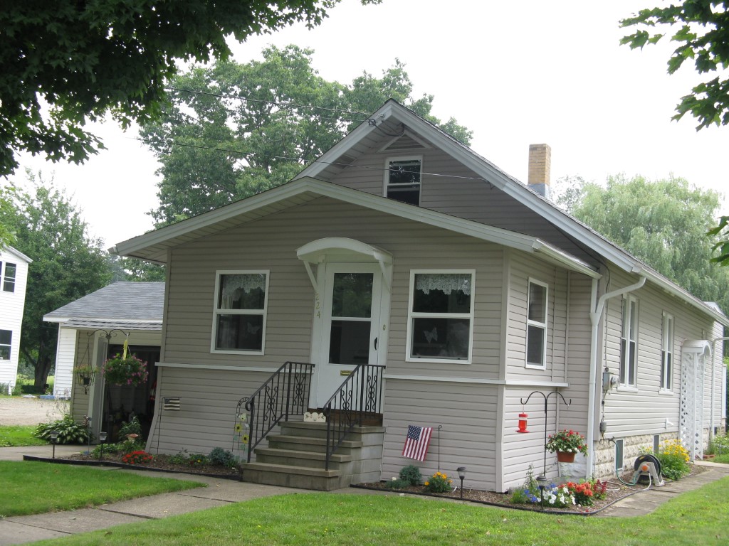
Address: 224 WAYNE ST
Parcel: 06021015002000
Parcel Profile
Address
224 | WAYNE | ST
Street Status
PAVED
School District
CORRY AREA SCHOOL
Acreage
0.2821
Classification
R
Land Use Code
SINGLE FAMILY
Legal Description
224 WAYNE ST 48.4 X 256.12
Square Feet
990
Topo
LEVEL
Utility
ALL PUBLIC
Zoning
Please contact your municipal zoning officer
Deed Book
008432
Deed Page
008432
2026 Tax Values
Land Value / Taxable
13,200 / 13,200.00
Building Value / Taxable
34,340 / 34,340.00
Total Value / Taxable
47,540 / 47,540.00
Clean & Green
Inactive
Homestead Status
Active
Farmstead Status
Inactive
Lerta Amount
0
Lerta Expiration Year
0
Residential Data
Card 1
Style
BUNGALOW
Basement
FULL
Year Built
1930
Exterior Wall
ALUMINUM/VINYL
Total Living Area
990
Full Baths
1
Half Baths
0
Fuel Type
GAS
Heating
CENTRAL A/C
Heating System
FORCED AIR
Stories
1.0
Total Bedrooms
2
Total Family Rooms
0
Total Rooms
4
Fireplaces
0
Other Buildings & Yards
No OBY Data Found
Sales History
Sale Date
Type
Price
Book / Page
Other Info
4/20/2022
LAND & BUILDING
0
008432 / 008432
SPECIAL WARRANTY DEED
1/22/2004
LAND & BUILDING
40000
1102 / 0955
WARRANTY/SURVIVORSHIP DEED
7/29/1999
0
0652 / 1123
Parcel Sketches
Residential Card 1
A
MAIN
990 square feet
B
FR GR FRAME GARAGE
231 square feet
C
WDDCK WOOD DECKS
160 square feet
D
EFP ENCL FRAME PORCH
144 square feet
Parcel Images
Please note:
this tab is for informational purposes only and may not show all delinquencies, see the Taxes tab for more accurate delinquent taxes due.