Elected Officials
Courts
Departments
Initiatives
Open Government
About
Login / Register
Home
/
Property & Tax Records
/
Property Records
/
Property & Tax Search
/
Parcel Profile
/
Print View
Search for Another Parcel
Parcel Profile
Historical Card
Sketches
Photos
Tax Map
Taxes
Print View
Print This Page
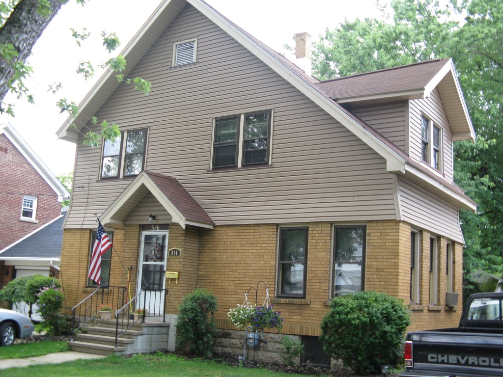
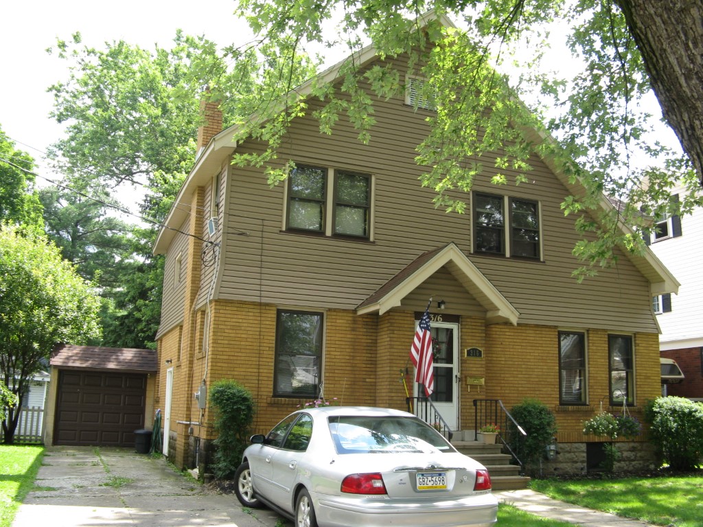
Address: 316 WRIGHT ST
Parcel: 06021026001400
Parcel Profile
Address
316 | WRIGHT | ST
Street Status
PAVED
School District
CORRY AREA SCHOOL
Acreage
0.1309
Classification
R
Land Use Code
SINGLE FAMILY
Legal Description
316 WRIGHT ST 50X114
Square Feet
1672
Topo
LEVEL
Utility
ALL PUBLIC
Zoning
Please contact your municipal zoning officer
Deed Book
1337
Deed Page
0874
2026 Tax Values
Land Value / Taxable
11,700 / 11,700.00
Building Value / Taxable
72,650 / 72,650.00
Total Value / Taxable
84,350 / 84,350.00
Clean & Green
Inactive
Homestead Status
Active
Farmstead Status
Inactive
Lerta Amount
0
Lerta Expiration Year
0
Residential Data
Card 1
Style
CONVENTIONAL
Basement
FULL
Year Built
1929
Exterior Wall
MASONRY & FRAME
Total Living Area
1672
Full Baths
1
Half Baths
0
Fuel Type
GAS
Heating
CENTRAL
Heating System
FORCED AIR
Stories
2.0
Total Bedrooms
3
Total Family Rooms
1
Total Rooms
6
Fireplaces
1
Other Buildings & Yards
No OBY Data Found
Sales History
Sale Date
Type
Price
Book / Page
Other Info
6/16/2006
LAND & BUILDING
55000
1337 / 0874
WARRANTY/SURVIVORSHIP DEED
8/18/1951
0
0602 / 0463
Parcel Sketches
Residential Card 1
A
MAIN
836 square feet
B
FR GR FRAME GARAGE
396 square feet
C
EMP ENCL MASONRY PORCH
24 square feet
D
MA STOOP/TERR MAS STOOP
18 square feet
Parcel Images
Please note:
this tab is for informational purposes only and may not show all delinquencies, see the Taxes tab for more accurate delinquent taxes due.