Elected Officials
Courts
Departments
Initiatives
Open Government
About
Login / Register
Home
/
Property & Tax Records
/
Property Records
/
Property & Tax Search
/
Parcel Profile
/
Print View
Search for Another Parcel
Parcel Profile
Historical Card
Sketches
Photos
Tax Map
Taxes
Print View
Print This Page
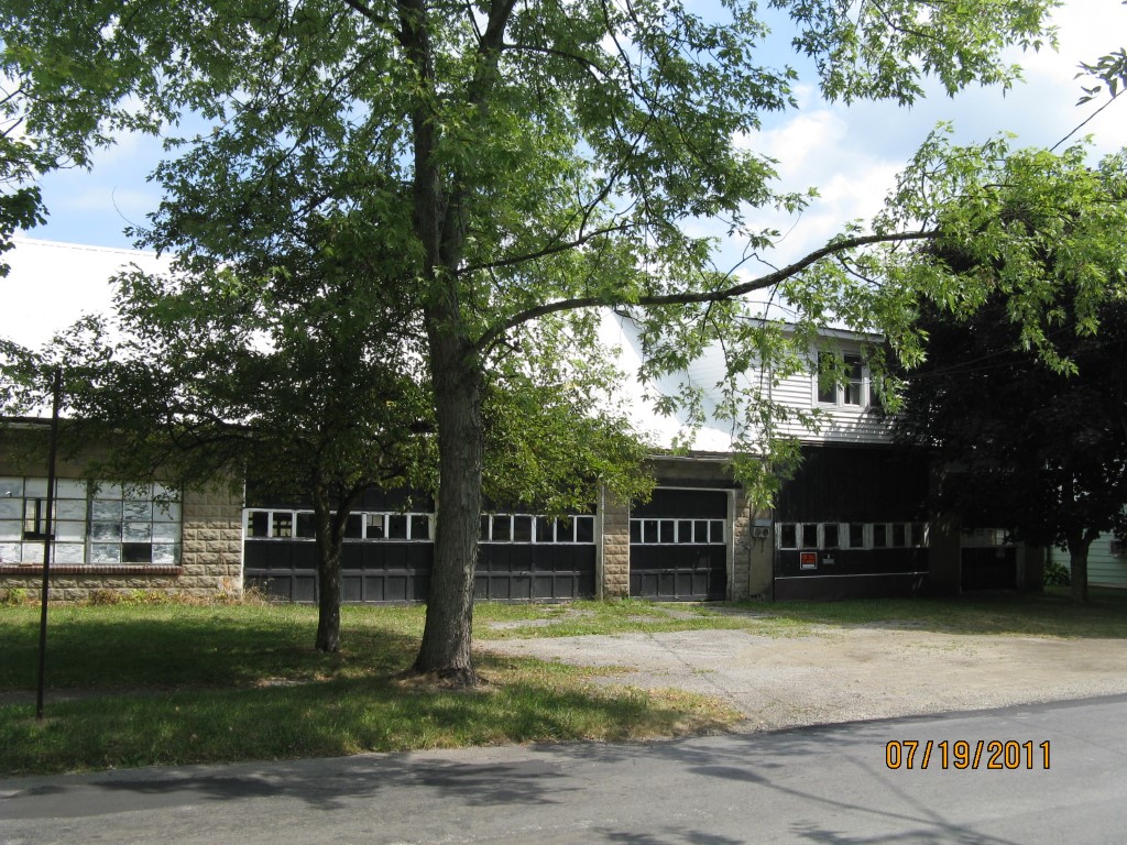
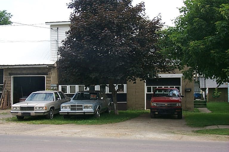
Address: 319 E SMITH ST
Parcel: 06021028001300
Parcel Profile
Address
319 | E | SMITH | ST
Street Status
PAVED
School District
CORRY AREA SCHOOL
Acreage
0.2972
Classification
C
Land Use Code
WAREHOUSES
Legal Description
319 E SMITH ST 106.55X121.52
Square Feet
4672
Topo
LEVEL
Utility
ALL PUBLIC
Zoning
Please contact your municipal zoning officer
Deed Book
2020
Deed Page
027399
2026 Tax Values
Land Value / Taxable
25,900 / 25,900.00
Building Value / Taxable
30,000 / 30,000.00
Total Value / Taxable
55,900 / 55,900.00
Clean & Green
Inactive
Homestead Status
Inactive
Farmstead Status
Inactive
Lerta Amount
0
Lerta Expiration Year
0
Commercial Data
Card 1
RETAIL SINGLE OCCUP
Business Living Area - 4672
Year Built - 1940
Improvement Name - STORAGE/APARTMENT
Value - 37480
Other Buildings & Yards
No OBY Data Found
Sales History
Sale Date
Type
Price
Book / Page
Other Info
12/18/2020
LAND & BUILDING
0
2020 / 027399
SPECIAL WARRANTY DEED
7/9/2012
LAND & BUILDING
39000
2012 / 018068
FIDUCIARY DEED
5/16/1960
0
0819 / 0142
Parcel Sketches
Commercial Card 1
A
MAIN
3536 square feet
B
MAIN
1136 square feet
Parcel Images
Please note:
this tab is for informational purposes only and may not show all delinquencies, see the Taxes tab for more accurate delinquent taxes due.