Elected Officials
Courts
Departments
Initiatives
Open Government
About
Login / Register
Home
/
Property & Tax Records
/
Property Records
/
Property & Tax Search
/
Parcel Profile
/
Print View
Search for Another Parcel
Parcel Profile
Historical Card
Sketches
Photos
Tax Map
Taxes
Print View
Print This Page
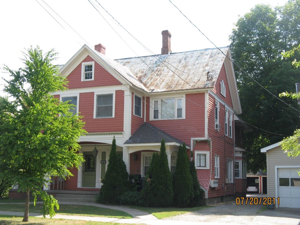
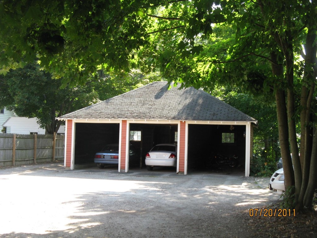
Address: 520 N CENTER ST
Parcel: 06022030002900
Parcel Profile
Address
520 | N | CENTER | ST
Street Status
PAVED
School District
CORRY AREA SCHOOL
Acreage
0.2534
Classification
A
Land Use Code
APARTMENTS 4 - 19 UNITS
Legal Description
520 N CENTER ST TR 34 50X247
Square Feet
7020
Topo
LEVEL
Utility
ALL PUBLIC
Zoning
Please contact your municipal zoning officer
Deed Book
2013
Deed Page
006280
2026 Tax Values
Land Value / Taxable
22,100 / 22,100.00
Building Value / Taxable
60,300 / 60,300.00
Total Value / Taxable
82,400 / 82,400.00
Clean & Green
Inactive
Homestead Status
Inactive
Farmstead Status
Inactive
Lerta Amount
0
Lerta Expiration Year
0
Commercial Data
Card 1
MIXED RESIDENTIAL/COMMERCIAL
Business Living Area - 7020
Year Built - 1920
Improvement Name - APARTMENTS
Value - 35920
Other Buildings & Yards
No OBY Data Found
Sales History
Sale Date
Type
Price
Book / Page
Other Info
3/20/2013
LAND & BUILDING
0
2013 / 006280
SPECIAL WARRANTY DEED
8/28/1989
0
0097 / 0037
Parcel Sketches
Commercial Card 1
A
MAIN
2285 square feet
B
MAIN
2306 square feet
C
MAIN
2429 square feet
Parcel Images
Please note:
this tab is for informational purposes only and may not show all delinquencies, see the Taxes tab for more accurate delinquent taxes due.