Elected Officials
Courts
Departments
Initiatives
Open Government
About
Login / Register
Home
/
Property & Tax Records
/
Property Records
/
Property & Tax Search
/
Parcel Profile
/
Print View
Search for Another Parcel
Parcel Profile
Historical Card
Sketches
Photos
Tax Map
Taxes
Print View
Print This Page
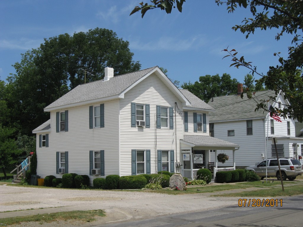
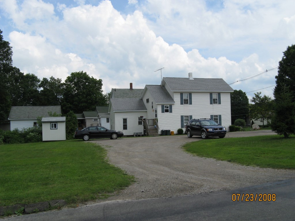
Address: 315 W SMITH ST
Parcel: 07023043002600
Parcel Profile
Address
315 | W | SMITH | ST
Street Status
PAVED | SIDEWALK
School District
CORRY AREA SCHOOL
Acreage
0.4223
Classification
A
Land Use Code
APARTMENTS 4 - 19 UNITS
Legal Description
315 W SMITH ST TR 33 130 X 141.5
Square Feet
3468
Topo
ROLLING
Utility
ALL PUBLIC
Zoning
Please contact your municipal zoning officer
Deed Book
2015
Deed Page
016988
2026 Tax Values
Land Value / Taxable
46,000 / 46,000.00
Building Value / Taxable
21,000 / 21,000.00
Total Value / Taxable
67,000 / 67,000.00
Clean & Green
Inactive
Homestead Status
Inactive
Farmstead Status
Inactive
Lerta Amount
0
Lerta Expiration Year
0
Commercial Data
Card 1
MIXED RESIDENTIAL/COMMERCIAL
Business Living Area - 3468
Year Built - 1920
Improvement Name - FOX INS AGENCY
Value - 51330
Other Buildings & Yards
No OBY Data Found
Sales History
Sale Date
Type
Price
Book / Page
Other Info
8/6/2015
LAND & BUILDING
55000
2015 / 016988
SPECIAL WARRANTY DEED
7/26/2007
LAND & BUILDING
60000
1449 / 1426
QUIT CLAIM DEED
12/1/1976
0
1245 / 0555
Parcel Sketches
Commercial Card 1
A
MAIN
804 square feet
B
MAIN
804 square feet
C
MAIN
804 square feet
D
MAIN
352 square feet
E
MAIN
352 square feet
F
MAIN
352 square feet
Parcel Images
Please note:
this tab is for informational purposes only and may not show all delinquencies, see the Taxes tab for more accurate delinquent taxes due.