Elected Officials
Courts
Departments
Initiatives
Open Government
About
Login / Register
Home
/
Property & Tax Records
/
Property Records
/
Property & Tax Search
/
Parcel Profile
/
Print View
Search for Another Parcel
Parcel Profile
Historical Card
Sketches
Photos
Tax Map
Taxes
Print View
Print This Page
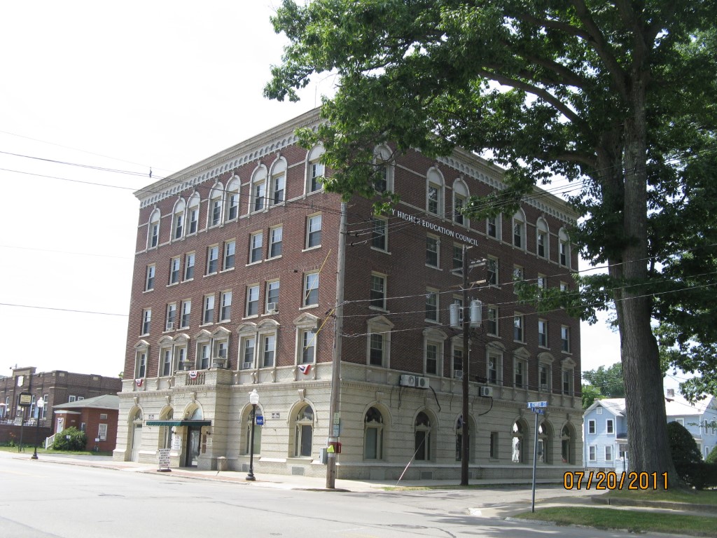
Address: 221 N CENTER ST
Parcel: 07023089000600
Parcel Profile
Address
221 | N | CENTER | ST
Street Status
PAVED
School District
CORRY AREA SCHOOL
Acreage
0.6609
Classification
E
Land Use Code
EXEMPT SCHOOLS
Legal Description
221 N CENTER ST 128.75 X 209 IRR
Square Feet
22524
Topo
LEVEL
Utility
ALL PUBLIC
Zoning
Please contact your municipal zoning officer
Deed Book
2017
Deed Page
026313
2026 Tax Values
Land Value / Taxable
72,000 / 72,000.00
Building Value / Taxable
629,000 / 629,000.00
Total Value / Taxable
701,000 / 701,000.00
Clean & Green
Inactive
Homestead Status
Inactive
Farmstead Status
Inactive
Lerta Amount
0
Lerta Expiration Year
0
Commercial Data
Card 1
OFFICE BLDG H-R 5ST
Business Living Area - 22524
Year Built - 1935
Improvement Name - SMITH EDUCATION CENTER
Value - 1004500
Other Buildings & Yards
No OBY Data Found
Sales History
Sale Date
Type
Price
Book / Page
Other Info
12/1/2017
LAND & BUILDING
0
2017 / 026313
WARRANTY/SURVIVORSHIP DEED
8/1/1991
0
0171 / 0343
Parcel Sketches
Commercial Card 1
A
MAIN
5532 square feet
B
MAIN
5580 square feet
C
MAIN
4236 square feet
Parcel Images
Please note:
this tab is for informational purposes only and may not show all delinquencies, see the Taxes tab for more accurate delinquent taxes due.