Elected Officials
Courts
Departments
Initiatives
Open Government
About
Login / Register
Home
/
Property & Tax Records
/
Property Records
/
Property & Tax Search
/
Parcel Profile
/
Print View
Search for Another Parcel
Parcel Profile
Historical Card
Sketches
Photos
Tax Map
Taxes
Print View
Print This Page
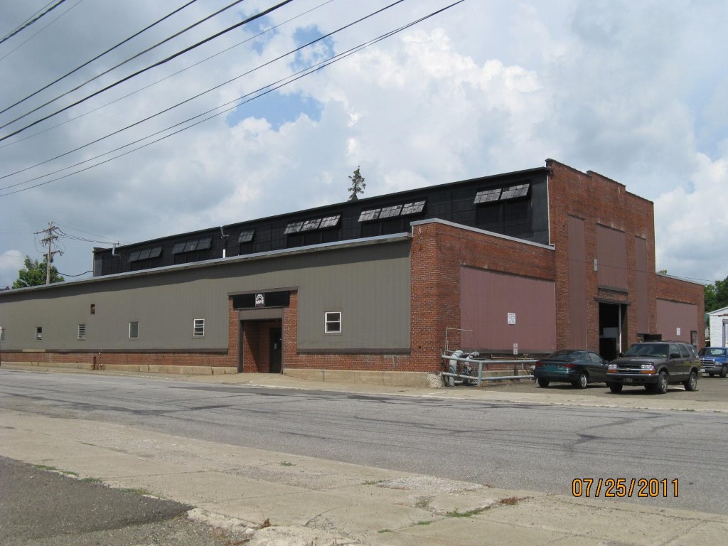
Address: W WASHINGTON ST
Parcel: 07026086000100
Parcel Profile
Address
0 | W | WASHINGTON | ST
Street Status
PAVED
School District
CORRY AREA SCHOOL
Acreage
0.4922
Classification
I
Land Use Code
LIGHT INDUSTRIAL
Legal Description
W WASHINGTON ST 196.48 X 109.12
Square Feet
14280
Topo
LEVEL
Utility
ALL PUBLIC
Zoning
Please contact your municipal zoning officer
Deed Book
1209
Deed Page
0581
2026 Tax Values
Land Value / Taxable
53,600 / 53,600.00
Building Value / Taxable
105,600 / 105,600.00
Total Value / Taxable
159,200 / 159,200.00
Clean & Green
Inactive
Homestead Status
Inactive
Farmstead Status
Inactive
Lerta Amount
0
Lerta Expiration Year
0
Commercial Data
Card 1
MFG/PROCESSING
Business Living Area - 14280
Year Built - 1973
Improvement Name - MDE MACHINE TOOL
Value - 105640
Other Buildings & Yards
No OBY Data Found
Sales History
Sale Date
Type
Price
Book / Page
Other Info
2/7/2005
LAND & BUILDING
150000
1209 / 0581
DEED
12/27/1989
0
0109 / 0403
Parcel Sketches
Commercial Card 1
A
MAIN
5880 square feet
B
MAIN
4200 square feet
C
MAIN
4200 square feet
Parcel Images
Please note:
this tab is for informational purposes only and may not show all delinquencies, see the Taxes tab for more accurate delinquent taxes due.