Elected Officials
Courts
Departments
Initiatives
Open Government
About
Login / Register
Home
/
Property & Tax Records
/
Property Records
/
Property & Tax Search
/
Parcel Profile
/
Print View
Search for Another Parcel
Parcel Profile
Historical Card
Sketches
Photos
Tax Map
Taxes
Print View
Print This Page
Address: 1242 W MAIN ST
Parcel: 08035121000200
Parcel Profile
Address
1242 | W | MAIN | ST
Street Status
PAVED
School District
CORRY AREA SCHOOL
Acreage
0.2428
Classification
R
Land Use Code
SINGLE FAMILY
Legal Description
1242 W MAIN ST 82.5 X 129.85
Square Feet
672
Topo
LEVEL
Utility
ALL PUBLIC
Zoning
Please contact your municipal zoning officer
Deed Book
2011
Deed Page
023327
2026 Tax Values
Land Value / Taxable
5,100 / 5,100.00
Building Value / Taxable
40,700 / 40,700.00
Total Value / Taxable
45,800 / 45,800.00
Clean & Green
Inactive
Homestead Status
Inactive
Farmstead Status
Inactive
Lerta Amount
0
Lerta Expiration Year
0
Residential Data
Card 1
Style
CAPE
Basement
FULL
Year Built
1930
Exterior Wall
ALUMINUM/VINYL
Total Living Area
672
Full Baths
1
Half Baths
0
Fuel Type
GAS
Heating
CENTRAL
Heating System
FORCED AIR
Stories
1.0
Total Bedrooms
4
Total Family Rooms
0
Total Rooms
6
Fireplaces
0
Other Buildings & Yards
Description
Built
Width
Length
Area
FRAME OR CB DETACHED GARAGE
1983
29
30
870
FRAME OR CB DETACHED GARAGE
2000
7
15
105
Sales History
Sale Date
Type
Price
Book / Page
Other Info
9/30/2011
LAND & BUILDING
0
2011 / 023327
WARRANTY/SURVIVORSHIP DEED
7/15/2005
LAND & BUILDING
67000
1251 / 1278
WARRANTY/SURVIVORSHIP DEED
3/3/2000
LAND & BUILDING
39000
690 / 880
2/23/2000
LAND & BUILDING
39000
690 / 880
Parcel Sketches
Residential Card 1
A
MAIN
672 square feet
B
OFP OPEN FRAME PORCH
20 square feet
C
EFP ENCL FRAME PORCH
280 square feet
D
MA_PT CONC/MAS PATIO
234 square feet
E
OFP OPEN FRAME PORCH
20 square feet
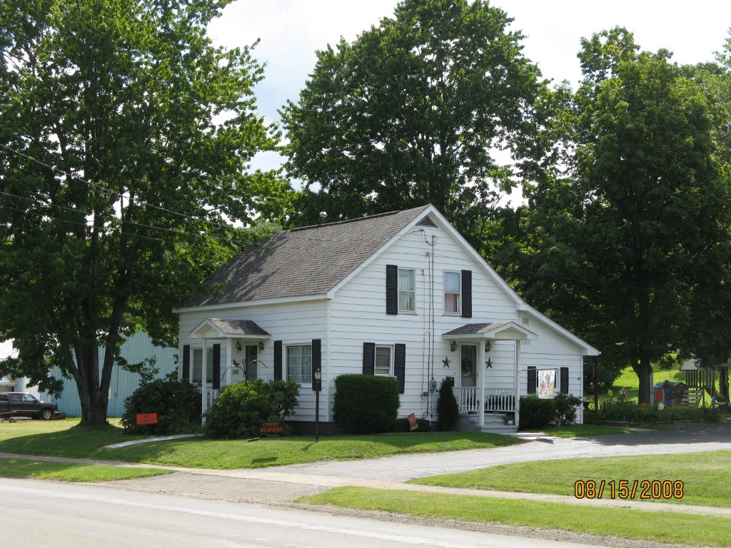
Parcel Images
Please note:
this tab is for informational purposes only and may not show all delinquencies, see the Taxes tab for more accurate delinquent taxes due.