Elected Officials
Courts
Departments
Initiatives
Open Government
About
Login / Register
Home
/
Property & Tax Records
/
Property Records
/
Property & Tax Search
/
Parcel Profile
/
Print View
Search for Another Parcel
Parcel Profile
Historical Card
Sketches
Photos
Tax Map
Taxes
Print View
Print This Page
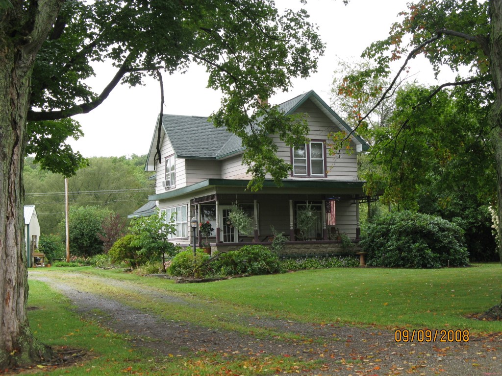
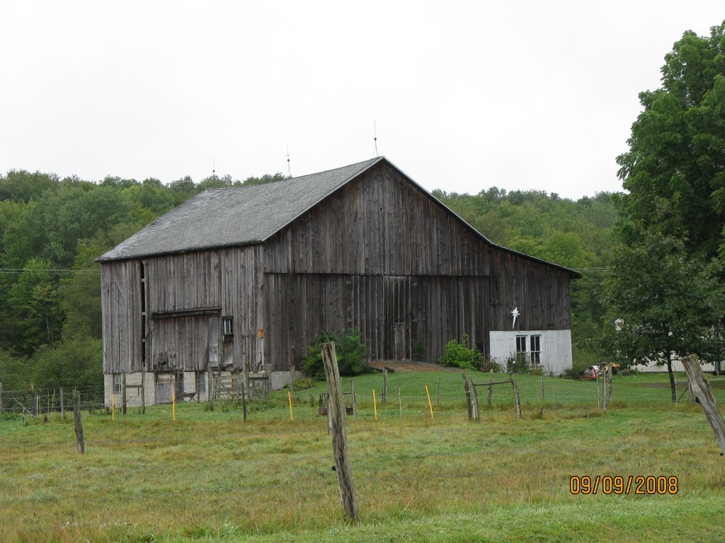
Address: 18036 N MAIN ST
Parcel: 12004001000900
Parcel Profile
Address
18036 | N | MAIN | ST
Street Status
PAVED
School District
CORRY AREA SCHOOL
Acreage
44.0569
Classification
F
Land Use Code
20 - 79.99 ACRES
Legal Description
18036 N MAIN ST LOT 4 44.0569 AC NET
Topo
LEVEL
Utility
GAS
Zoning
Please contact your municipal zoning officer
Deed Book
0671
Deed Page
0370
2026 Tax Values
Land Value / Taxable
40,400 / 40,400.00
Building Value / Taxable
11,300 / 11,300.00
Total Value / Taxable
51,700 / 51,700.00
Clean & Green
Inactive
Homestead Status
Active
Farmstead Status
Active
Lerta Amount
0
Lerta Expiration Year
0
Other Buildings & Yards
No OBY Data Found
Sales History
Sale Date
Type
Price
Book / Page
Other Info
10/29/1999
0
0671 / 0370
Parcel Sketches
Invalid Parcel Number or No Sketches on File
Parcel Images
Please note:
this tab is for informational purposes only and may not show all delinquencies, see the Taxes tab for more accurate delinquent taxes due.