Elected Officials
Courts
Departments
Initiatives
Open Government
About
Login / Register
Home
/
Property & Tax Records
/
Property Records
/
Property & Tax Search
/
Parcel Profile
/
Print View
Search for Another Parcel
Parcel Profile
Historical Card
Sketches
Photos
Tax Map
Taxes
Print View
Print This Page
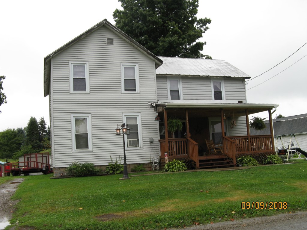
Address: 18279 N MAIN ST
Parcel: 12008002001400
Parcel Profile
Address
18279 | N | MAIN | ST
Street Status
PAVED
School District
CORRY AREA SCHOOL
Acreage
1.0460
Classification
R
Land Use Code
SINGLE FAMILY
Legal Description
18279 N MAIN ST LOT 1 1.046 AC NET
Square Feet
1820
Topo
ROLLING
Utility
GAS | WELL | SEPTIC
Zoning
Please contact your municipal zoning officer
Deed Book
1230
Deed Page
2181
2026 Tax Values
Land Value / Taxable
16,900 / 16,900.00
Building Value / Taxable
44,660 / 44,660.00
Total Value / Taxable
61,560 / 61,560.00
Clean & Green
Inactive
Homestead Status
Inactive
Farmstead Status
Inactive
Lerta Amount
0
Lerta Expiration Year
0
Residential Data
Card 1
Style
OLD STYLE
Basement
PART
Year Built
1898
Exterior Wall
ALUMINUM/VINYL
Total Living Area
1820
Full Baths
2
Half Baths
0
Fuel Type
NONE
Heating
NON CENTRAL
Heating System
FORCED AIR
Stories
2.0
Total Bedrooms
4
Total Family Rooms
0
Total Rooms
8
Fireplaces
0
Other Buildings & Yards
No OBY Data Found
Sales History
Sale Date
Type
Price
Book / Page
Other Info
5/3/2005
LAND & BUILDING
30000
1230 / 2181
DEED
10/11/2004
LAND & BUILDING
0
1180 / 2058
SHERIFF'S DED
3/22/1991
0
0153 / 1377
3/1/1989
LAND & BUILDING
12500
/
Parcel Sketches
Residential Card 1
A
MAIN
736 square feet
B
FR UT FRAME UTILITY BUILDING
480 square feet
C
1S FR ONE STORY FRAME
348 square feet
D
OFP OPEN FRAME PORCH
200 square feet
E
OFP OPEN FRAME PORCH
72 square feet
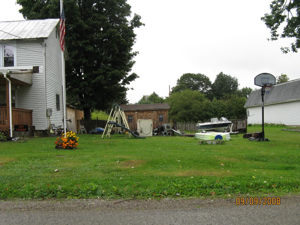
Parcel Images
Please note:
this tab is for informational purposes only and may not show all delinquencies, see the Taxes tab for more accurate delinquent taxes due.