Elected Officials
Courts
Departments
Initiatives
Open Government
About
Login / Register
Home
/
Property & Tax Records
/
Property Records
/
Property & Tax Search
/
Parcel Profile
/
Print View
Search for Another Parcel
Parcel Profile
Historical Card
Sketches
Photos
Tax Map
Taxes
Print View
Print This Page
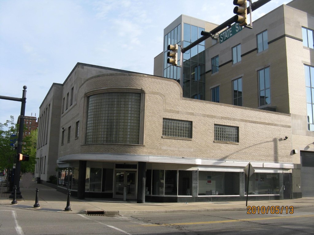
Address: 629 STATE ST
Parcel: 14010001020500
Parcel Profile
Address
629 | STATE | ST
Street Status
PAVED
School District
CITY OF ERIE SCHOOL
Acreage
0.1591
Classification
E
Land Use Code
EXEMPT FEDERAL GOVERNMENT
Legal Description
629 STATE ST 42 X 165
Square Feet
14520
Topo
LEVEL
Utility
ALL PUBLIC
Zoning
Please contact your municipal zoning officer
Deed Book
0515
Deed Page
1256
2026 Tax Values
Land Value / Taxable
69,300 / 69,300.00
Building Value / Taxable
705,400 / 705,400.00
Total Value / Taxable
774,700 / 774,700.00
Clean & Green
Inactive
Homestead Status
Inactive
Farmstead Status
Inactive
Lerta Amount
0
Lerta Expiration Year
0
Commercial Data
Card 1
OFFICE BLDG L/R 1-4S
Business Living Area - 14520
Year Built - 1946
Improvement Name - FEDERAL COURTHOUSE
Value - 705350
Other Buildings & Yards
No OBY Data Found
Sales History
Sale Date
Type
Price
Book / Page
Other Info
8/25/1997
750000
0515 / 1256
3/11/1983
125000
1488 / 0106
8/1/1946
0
0491 / 0411
3/29/1945
0
0456 / 0067
Parcel Sketches
Commercial Card 1
A
MAIN
7260 square feet
B
MAIN
7260 square feet
C
MAIN
7260 square feet
Parcel Images
Please note:
this tab is for informational purposes only and may not show all delinquencies, see the Taxes tab for more accurate delinquent taxes due.