Elected Officials
Courts
Departments
Initiatives
Open Government
About
Login / Register
Home
/
Property & Tax Records
/
Property Records
/
Property & Tax Search
/
Parcel Profile
/
Print View
Search for Another Parcel
Parcel Profile
Historical Card
Sketches
Photos
Tax Map
Taxes
Print View
Print This Page
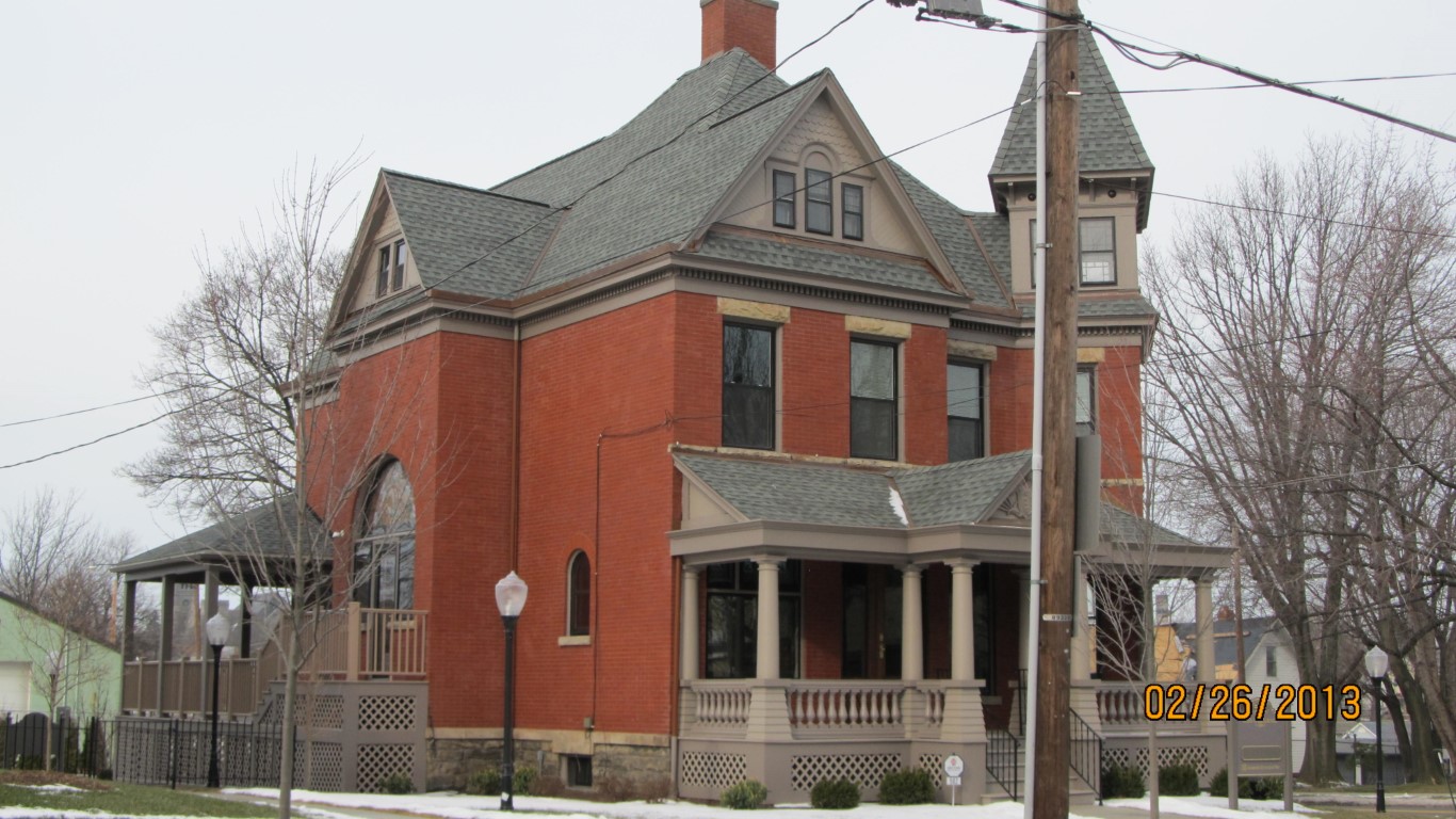
Address: 502 PARADE ST
Parcel: 14010011010200
Parcel Profile
Address
502 | PARADE | ST
Street Status
PAVED | SIDEWALK
School District
CITY OF ERIE SCHOOL
Acreage
0.1825
Classification
C
Land Use Code
OFFICE BLDGS/LABS/LIBRARIES
Legal Description
502 PARADE ST 60 X 132.5
Square Feet
4405
Topo
LEVEL
Utility
ALL PUBLIC
Zoning
Please contact your municipal zoning officer
Deed Book
2011
Deed Page
019128
2026 Tax Values
Land Value / Taxable
11,900 / 11,900.00
Building Value / Taxable
218,200 / 218,200.00
Total Value / Taxable
230,100 / 230,100.00
Clean & Green
Inactive
Homestead Status
Inactive
Farmstead Status
Inactive
Lerta Amount
0.00
Lerta Expiration Year
2022
Commercial Data
Card 1
OFFICE BLDG L/R 1-4S
Business Living Area - 4405
Year Built - 1887
Improvement Name - ERIE INSURANCE OFFICES
Value - 218180
Other Buildings & Yards
No OBY Data Found
Sales History
Sale Date
Type
Price
Book / Page
Other Info
8/16/2011
LAND & BUILDING
95000
2011 / 019128
DEED
10/23/2006
LAND & BUILDING
50000
1370 / 1603
SPECIAL WARRANTY DEED
3/20/1996
LAND & BUILDING
0
429 / 845
AFFIDAVIT
3/20/1996
0
0429 / 0845
Parcel Sketches
Commercial Card 1
A
MAIN
1505 square feet
B
MAIN
1460 square feet
C
MAIN
1440 square feet
D
MAIN
720 square feet
Parcel Images
Please note:
this tab is for informational purposes only and may not show all delinquencies, see the Taxes tab for more accurate delinquent taxes due.