Elected Officials
Courts
Departments
Initiatives
Open Government
About
Login / Register
Home
/
Property & Tax Records
/
Property Records
/
Property & Tax Search
/
Parcel Profile
/
Print View
Search for Another Parcel
Parcel Profile
Historical Card
Sketches
Photos
Tax Map
Taxes
Print View
Print This Page
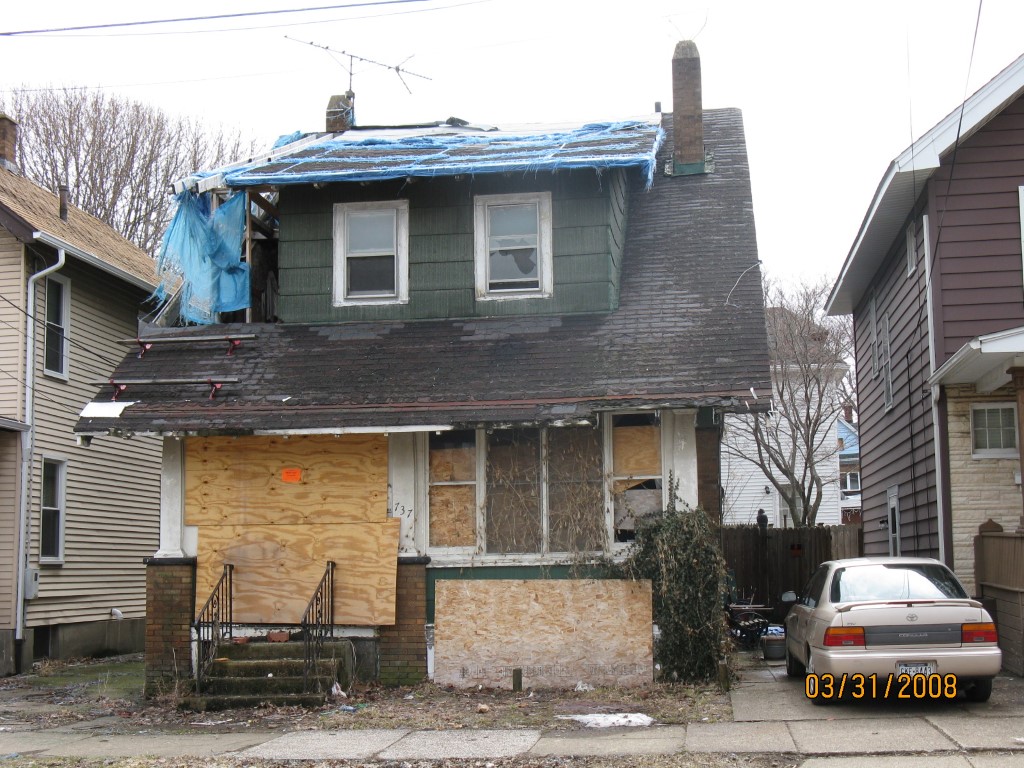
Address: 737 ROSEDALE AVE
Parcel: 14010022010700
Parcel Profile
Address
737 | ROSEDALE | AVE
Street Status
PAVED | SIDEWALK
School District
CITY OF ERIE SCHOOL
Acreage
0.0506
Classification
E
Land Use Code
EXEMPT HOUSING/REDEVELOPMENT AUTHORITIES
Legal Description
737 ROSEDALE AVE 31.5 X 70
Topo
LEVEL
Utility
ALL PUBLIC
Zoning
Please contact your municipal zoning officer
Deed Book
1597
Deed Page
1731
2026 Tax Values
Land Value / Taxable
6,100 / 6,100.00
Building Value / Taxable
0 / 0.00
Total Value / Taxable
6,100 / 6,100.00
Clean & Green
Inactive
Homestead Status
Inactive
Farmstead Status
Inactive
Lerta Amount
0
Lerta Expiration Year
0
Other Buildings & Yards
No OBY Data Found
Sales History
Sale Date
Type
Price
Book / Page
Other Info
10/16/2009
LAND & BUILDING
0
1597 / 1731
CONDEMNATION
3/7/2007
LAND & BUILDING
3550
1399 / 0839
DEED
11/21/2005
LAND & BUILDING
0
1288 / 1961
REPOSITORY SALE
9/22/2005
0
1271 / 1808
9/3/1987
LAND & BUILDING
4152
0026 / 0556
Parcel Sketches
Invalid Parcel Number or No Sketches on File
Parcel Images
Please note:
this tab is for informational purposes only and may not show all delinquencies, see the Taxes tab for more accurate delinquent taxes due.