Elected Officials
Courts
Departments
Initiatives
Open Government
About
Login / Register
Home
/
Property & Tax Records
/
Property Records
/
Property & Tax Search
/
Parcel Profile
/
Print View
Search for Another Parcel
Parcel Profile
Historical Card
Sketches
Photos
Tax Map
Taxes
Print View
Print This Page
Address: DUNN BLVD
Parcel: 14010041040000
Parcel Profile
Address
0 | DUNN | BLVD
Street Status
PAVED
School District
CITY OF ERIE SCHOOL
Acreage
2.0000
Classification
E
Land Use Code
EXEMPT LOCAL GOVERNMENT (TWP & BORO)
Legal Description
DUNN BLVD | E OF LIGHTHOUSE ST 2.00 AC
Square Feet
2208
Topo
LEVEL
Utility
ALL PUBLIC
Zoning
Please contact your municipal zoning officer
Deed Book
0875
Deed Page
0535
2026 Tax Values
Land Value / Taxable
130,700 / 130,700.00
Building Value / Taxable
35,100 / 35,100.00
Total Value / Taxable
165,800 / 165,800.00
Clean & Green
Inactive
Homestead Status
Inactive
Farmstead Status
Inactive
Lerta Amount
0
Lerta Expiration Year
0
Commercial Data
Card 1
RESIDENTIAL 1 FAMILY
Business Living Area - 2208
Year Built - 1870
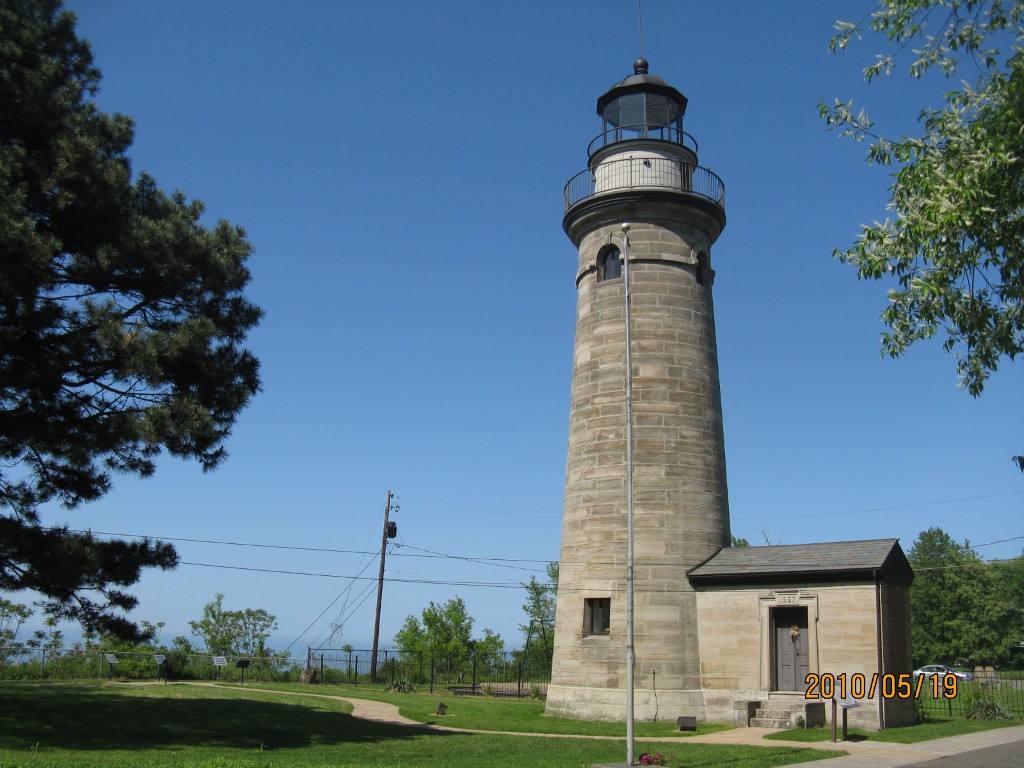
Improvement Name - COUNTY PARK WITH LIGHTHOUSE
Value - 32110
Other Buildings & Yards
Description
Built
Width
Length
Area
FENCE CHAIN LINK
1965
6
300
1800
Sales History
Sale Date
Type
Price
Book / Page
Other Info
4/29/2002
0
0875 / 0535
DEED
9/18/1934
0
0354 / 0582
DEED
Parcel Sketches
Commercial Card 1
A
MAIN
736 square feet
B
MAIN
736 square feet
C
MAIN
736 square feet
Parcel Images
Please note:
this tab is for informational purposes only and may not show all delinquencies, see the Taxes tab for more accurate delinquent taxes due.