Elected Officials
Courts
Departments
Initiatives
Open Government
About
Login / Register
Home
/
Property & Tax Records
/
Property Records
/
Property & Tax Search
/
Parcel Profile
/
Print View
Search for Another Parcel
Parcel Profile
Historical Card
Sketches
Photos
Tax Map
Taxes
Print View
Print This Page
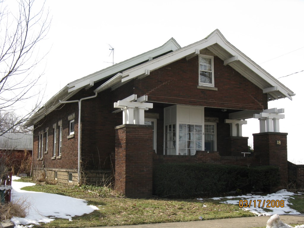
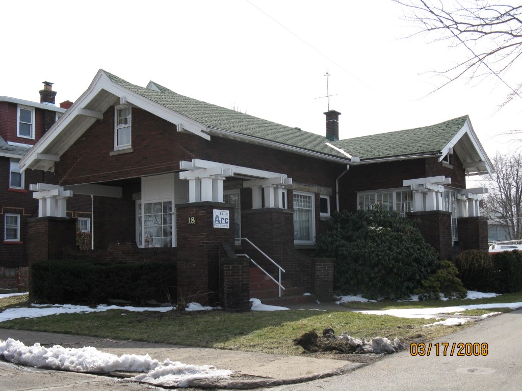
Address: 18 HESS AVE
Parcel: 14010045022100
Parcel Profile
Address
18 | HESS | AVE
Street Status
PAVED | SIDEWALK
School District
CITY OF ERIE SCHOOL
Acreage
0.1429
Classification
C
Land Use Code
OFFICE BLDGS/LABS/LIBRARIES
Legal Description
18 HESS AVE 59.29 X 10⁵
Square Feet
2720
Topo
LEVEL
Utility
ALL PUBLIC
Zoning
Please contact your municipal zoning officer
Deed Book
1603
Deed Page
1365
2026 Tax Values
Land Value / Taxable
11,500 / 11,500.00
Building Value / Taxable
46,600 / 46,600.00
Total Value / Taxable
58,100 / 58,100.00
Clean & Green
Inactive
Homestead Status
Active
Farmstead Status
Inactive
Lerta Amount
0
Lerta Expiration Year
0
Commercial Data
Card 1
RESIDENTIAL 1 FAMILY
Business Living Area - 2720
Year Built - 1922
Improvement Name - ERIE CO ASSOC FOR RETARDED CIT
Value - 42850
Other Buildings & Yards
No OBY Data Found
Sales History
Sale Date
Type
Price
Book / Page
Other Info
11/16/2009
LAND & BUILDING
60000
1603 / 1365
CORPORATE DEED
8/31/1995
69000
0401 / 0576
6/22/1987
50000
0016 / 0628
4/1/1942
0
0416 / 0560
6/18/1938
0
0385 / 0268
8/31/1937
0
0353 / 0535
11/14/1932
0
0008 / 0368
Parcel Sketches
Commercial Card 1
A
MAIN
1360 square feet
B
MAIN
1360 square feet
C
MAIN
660 square feet
Parcel Images
Please note:
this tab is for informational purposes only and may not show all delinquencies, see the Taxes tab for more accurate delinquent taxes due.