Elected Officials
Courts
Departments
Initiatives
Open Government
About
Login / Register
Home
/
Property & Tax Records
/
Property Records
/
Property & Tax Search
/
Parcel Profile
/
Print View
Search for Another Parcel
Parcel Profile
Historical Card
Sketches
Photos
Tax Map
Taxes
Print View
Print This Page
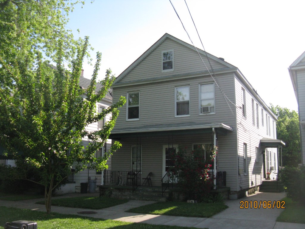
Address: 119 PARADE ST
Parcel: 14010053021500
Parcel Profile
Address
119 | PARADE | ST
Street Status
PAVED | SIDEWALK
School District
CITY OF ERIE SCHOOL
Acreage
0.0735
Classification
A
Land Use Code
APARTMENTS 4 - 19 UNITS
Legal Description
119 PARADE ST 32 X 100
Square Feet
4176
Topo
LEVEL
Utility
ALL PUBLIC
Zoning
Please contact your municipal zoning officer
Deed Book
2011
Deed Page
014321
2026 Tax Values
Land Value / Taxable
4,800 / 4,800.00
Building Value / Taxable
56,600 / 56,600.00
Total Value / Taxable
61,400 / 61,400.00
Clean & Green
Inactive
Homestead Status
Inactive
Farmstead Status
Inactive
Lerta Amount
0
Lerta Expiration Year
0
Commercial Data
Card 1
RESIDENTIAL 4 FAMILY
Business Living Area - 4176
Year Built - 1913
Improvement Name - APARTMENTS
Value - 61060
Other Buildings & Yards
No OBY Data Found
Sales History
Sale Date
Type
Price
Book / Page
Other Info
6/27/2011
LAND & BUILDING
60000
2011 / 014321
DEED
10/13/1994
38500
0358 / 0129
3/12/1985
0
1571 / 0414
1/11/1985
0
1566 / 0160
2/19/1981
0
1412 / 0237
4/5/1974
0
1119 / 0020
10/17/1967
0
0970 / 0681
8/28/1957
0
0762 / 0146
10/1/1952
0
0634 / 0026
Parcel Sketches
Commercial Card 1
A
MAIN
1392 square feet
B
MAIN
1392 square feet
C
MAIN
1392 square feet
D
MAIN
696 square feet
Parcel Images
Please note:
this tab is for informational purposes only and may not show all delinquencies, see the Taxes tab for more accurate delinquent taxes due.