Elected Officials
Courts
Departments
Initiatives
Open Government
About
Login / Register
Home
/
Property & Tax Records
/
Property Records
/
Property & Tax Search
/
Parcel Profile
/
Print View
Search for Another Parcel
Parcel Profile
Historical Card
Sketches
Photos
Tax Map
Taxes
Print View
Print This Page
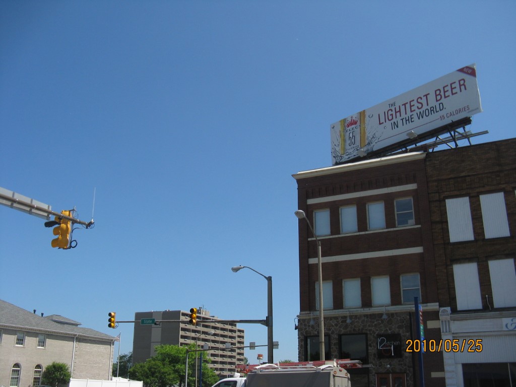
Address: 1201 STATE ST X 9 E 12 ST
Parcel: 15020003020100
Parcel Profile
Address
1201 | STATE ST X 9 E 12 | ST
Street Status
PAVED | SIDEWALK
School District
CITY OF ERIE SCHOOL
Acreage
0.0549
Classification
C
Land Use Code
RESTAURANTS, STORES (RETAIL)
Legal Description
1201 STATE ST 25 X 96.35 IRR
Square Feet
7335
Topo
LEVEL
Utility
ALL PUBLIC
Zoning
Please contact your municipal zoning officer
Deed Book
2014
Deed Page
016976
2026 Tax Values
Land Value / Taxable
19,100 / 19,100.00
Building Value / Taxable
187,100 / 187,100.00
Total Value / Taxable
206,200 / 206,200.00
Clean & Green
Inactive
Homestead Status
Inactive
Farmstead Status
Inactive
Lerta Amount
0
Lerta Expiration Year
0
Commercial Data
Card 1
DOWNTOWN ROW TYPE
Business Living Area - 7335
Year Built - 1909
Improvement Name - FAT BOY'S DEI AND PUB
Value - 172970
Other Buildings & Yards
No OBY Data Found
Sales History
Sale Date
Type
Price
Book / Page
Other Info
8/14/2014
LAND & BUILDING
225000
2014 / 016976
SPECIAL WARRANTY DEED
7/18/2008
LAND & BUILDING
140000
1509 / 2391
WARRANTY/SURVIVORSHIP DEED
10/22/1993
0
0299 / 0305
11/21/1967
121000
0973 / 0022
5/4/1953
0
0651 / 0508
5/4/1953
0
0651 / 0505
2/7/1941
0
0406 / 0371
11/28/1937
0
0009 / 0374
Parcel Sketches
Commercial Card 1
A
MAIN
2425 square feet
B
MAIN
2425 square feet
C
MAIN
2455 square feet
Parcel Images
Please note:
this tab is for informational purposes only and may not show all delinquencies, see the Taxes tab for more accurate delinquent taxes due.