Elected Officials
Courts
Departments
Initiatives
Open Government
About
Login / Register
Home
/
Property & Tax Records
/
Property Records
/
Property & Tax Search
/
Parcel Profile
/
Print View
Search for Another Parcel
Parcel Profile
Historical Card
Sketches
Photos
Tax Map
Taxes
Print View
Print This Page
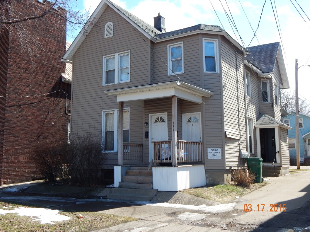
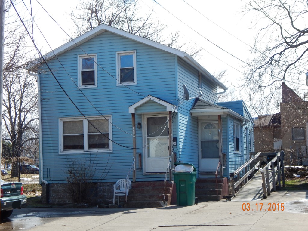
Address: 241 E 10 ST
Parcel: 15020012021400
Parcel Profile
Address
241 | E | 10 | ST
Street Status
PAVED | SIDEWALK
School District
CITY OF ERIE SCHOOL
Acreage
0.1562
Classification
A
Land Use Code
APARTMENTS 4 - 19 UNITS
Legal Description
241 E 10 ST 41.25X165
Square Feet
5962
Topo
LEVEL
Utility
ALL PUBLIC
Zoning
Please contact your municipal zoning officer
Deed Book
2020
Deed Page
019362
2026 Tax Values
Land Value / Taxable
8,500 / 8,500.00
Building Value / Taxable
92,707 / 92,707.00
Total Value / Taxable
101,207 / 101,207.00
Clean & Green
Inactive
Homestead Status
Inactive
Farmstead Status
Inactive
Lerta Amount
0
Lerta Expiration Year
0
Commercial Data
Card 1
RESIDENTIAL 4 FAMILY
Business Living Area - 3790
Year Built - 1895
Improvement Name - APARTMENTS
Value - 54120
Card 2
RESIDENTIAL 2 FAMILY
Business Living Area - 2172
Year Built - 1887
Improvement Name - APARTMENTS
Value - 22020
Other Buildings & Yards
No OBY Data Found
Sales History
Sale Date
Type
Price
Book / Page
Other Info
9/22/2020
LAND & BUILDING
373000
2020 / 019362
SPECIAL WARRANTY DEED
9/22/2005
LAND & BUILDING
880000
1271 / 2333
WARRANTY/SURVIVORSHIP DEED
4/12/1993
0
0262 / 1541
Parcel Sketches
Commercial Card 1
A
MAIN
1260 square feet
B
MAIN
1270 square feet
C
MAIN
1260 square feet
D
MAIN
630 square feet
Commercial Card 2
A
MAIN
852 square feet
B
MAIN
852 square feet
C
MAIN
468 square feet
Parcel Images
Please note:
this tab is for informational purposes only and may not show all delinquencies, see the Taxes tab for more accurate delinquent taxes due.