Elected Officials
Courts
Departments
Initiatives
Open Government
About
Login / Register
Home
/
Property & Tax Records
/
Property Records
/
Property & Tax Search
/
Parcel Profile
/
Print View
Search for Another Parcel
Parcel Profile
Historical Card
Sketches
Photos
Tax Map
Taxes
Print View
Print This Page
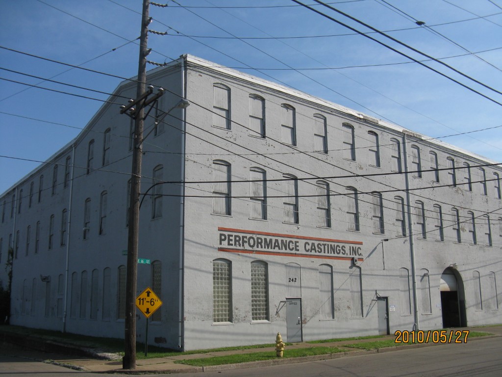
Address: NE COR
Parcel: 15020014010000
Parcel Profile
Address
0 | NE | COR
Street Status
PAVED | SIDEWALK
School District
CITY OF ERIE SCHOOL
Acreage
0.4169
Classification
C
Land Use Code
COMMERCIAL VACANT
Legal Description
NE COR E 16 ET DIVISION
Topo
LEVEL
Utility
NONE
Zoning
Please contact your municipal zoning officer
Deed Book
2015
Deed Page
000186
2026 Tax Values
Land Value / Taxable
28,900 / 28,900.00
Building Value / Taxable
0 / 0.00
Total Value / Taxable
28,900 / 28,900.00
Clean & Green
Inactive
Homestead Status
Inactive
Farmstead Status
Inactive
Lerta Amount
0
Lerta Expiration Year
0
Other Buildings & Yards
No OBY Data Found
Sales History
Sale Date
Type
Price
Book / Page
Other Info
1/5/2015
LAND
250000
2015 / 000186
DEED
6/23/1988
0
0054 / 2018
7/1/1969
0
1005 / 0460
8/8/1966
0
0945 / 0458
12/5/1950
0
0582 / 0206
10/11/1950
0
0582 / 0405
12/15/1943
0
0440 / 0433
Parcel Sketches
Invalid Parcel Number or No Sketches on File
Parcel Images
Please note:
this tab is for informational purposes only and may not show all delinquencies, see the Taxes tab for more accurate delinquent taxes due.