Elected Officials
Courts
Departments
Initiatives
Open Government
About
Login / Register
Home
/
Property & Tax Records
/
Property Records
/
Property & Tax Search
/
Parcel Profile
/
Print View
Search for Another Parcel
Parcel Profile
Historical Card
Sketches
Photos
Tax Map
Taxes
Print View
Print This Page
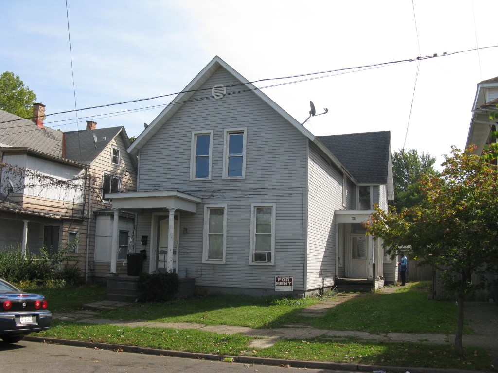
Address: 453 E 8 ST
Parcel: 15020021020600
Parcel Profile
Address
453 | E | 8 | ST
Street Status
PAVED | SIDEWALK
School District
CITY OF ERIE SCHOOL
Acreage
0.1483
Classification
A
Land Use Code
APARTMENTS 4 - 19 UNITS
Legal Description
453 E 8 ST 41X157.5
Square Feet
3750
Topo
LEVEL
Utility
ALL PUBLIC
Zoning
Please contact your municipal zoning officer
Deed Book
2017
Deed Page
002192
2026 Tax Values
Land Value / Taxable
8,100 / 8,100.00
Building Value / Taxable
26,900 / 26,900.00
Total Value / Taxable
35,000 / 35,000.00
Clean & Green
Inactive
Homestead Status
Inactive
Farmstead Status
Inactive
Lerta Amount
0
Lerta Expiration Year
0
Commercial Data
Card 1
RESIDENTIAL 4 FAMILY
Business Living Area - 3750
Year Built - 1882
Improvement Name - APARTMENTS
Value - 45200
Other Buildings & Yards
No OBY Data Found
Sales History
Sale Date
Type
Price
Book / Page
Other Info
2/1/2017
LAND & BUILDING
0
2017 / 002192
TRUSTEE'S DEED
2/28/2007
LAND & BUILDING
18900
1397 / 1915
DEED
2/15/2007
LAND & BUILDING
0
1395 / 0913
SHERIFF'S DED
5/6/2004
LAND & BUILDING
37900
1132 / 1181
DEED
3/20/2003
LAND & BUILDING
35400
988 / 918
3/6/2002
LAND & BUILDING
0
859 / 520
8/30/1985
0
1595 / 0043
6/12/1941
0
0412 / 0116
3/7/1938
0
0384 / 0551
Parcel Sketches
Commercial Card 1
A
MAIN
904 square feet
B
MAIN
1470 square feet
C
MAIN
1376 square feet
Parcel Images
Please note:
this tab is for informational purposes only and may not show all delinquencies, see the Taxes tab for more accurate delinquent taxes due.