Elected Officials
Courts
Departments
Initiatives
Open Government
About
Login / Register
Home
/
Property & Tax Records
/
Property Records
/
Property & Tax Search
/
Parcel Profile
/
Print View
Search for Another Parcel
Parcel Profile
Historical Card
Sketches
Photos
Tax Map
Taxes
Print View
Print This Page
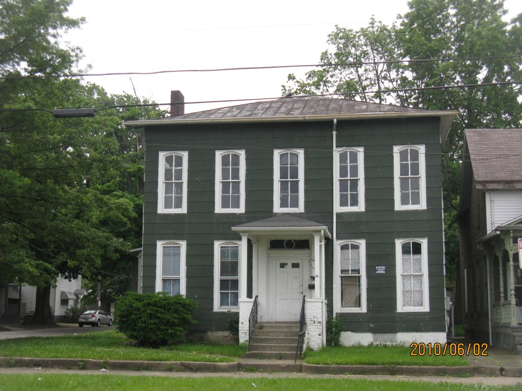
Address: 457 59 E 10 ST
Parcel: 15020022020500
Parcel Profile
Address
457 | 59 | E | 10 | ST
Street Status
PAVED | SIDEWALK
School District
CITY OF ERIE SCHOOL
Acreage
0.1095
Classification
A
Land Use Code
APARTMENTS 4 - 19 UNITS
Legal Description
457-59 E 10 ST & 1004-9 WALLACE ST 53 X 90
Square Feet
5088
Topo
LEVEL
Utility
ALL PUBLIC
Zoning
Please contact your municipal zoning officer
Deed Book
2020
Deed Page
010474
2026 Tax Values
Land Value / Taxable
6,000 / 6,000.00
Building Value / Taxable
42,000 / 42,000.00
Total Value / Taxable
48,000 / 48,000.00
Clean & Green
Inactive
Homestead Status
Inactive
Farmstead Status
Inactive
Lerta Amount
0
Lerta Expiration Year
0
Commercial Data
Card 1
RESIDENTIAL 4 FAMILY
Business Living Area - 5088
Year Built - 1872
Improvement Name - APARTMENTS
Value - 56070
Other Buildings & Yards
No OBY Data Found
Sales History
Sale Date
Type
Price
Book / Page
Other Info
6/12/2020
LAND & BUILDING
30000
2020 / 010474
SPECIAL WARRANTY DEED
5/1/2013
LAND & BUILDING
36000
2013 / 010613
DEED
2/19/2010
LAND & BUILDING
46073
2010 / 003671
QUIT CLAIM DEED
6/23/2005
LAND & BUILDING
49900
1244 / 2127
DEED
8/30/1996
0
0459 / 0391
4/11/1990
0
0118 / 0660
10/10/1968
0
0990 / 0643
4/16/1957
0
0752 / 0257
3/28/1946
0
0472 / 0384
10/21/1944
0
0451 / 0334
Parcel Sketches
Commercial Card 1
A
MAIN
1696 square feet
B
MAIN
1696 square feet
C
MAIN
1696 square feet
Parcel Images
Please note:
this tab is for informational purposes only and may not show all delinquencies, see the Taxes tab for more accurate delinquent taxes due.