Elected Officials
Courts
Departments
Initiatives
Open Government
About
Login / Register
Home
/
Property & Tax Records
/
Property Records
/
Property & Tax Search
/
Parcel Profile
/
Print View
Search for Another Parcel
Parcel Profile
Historical Card
Sketches
Photos
Tax Map
Taxes
Print View
Print This Page
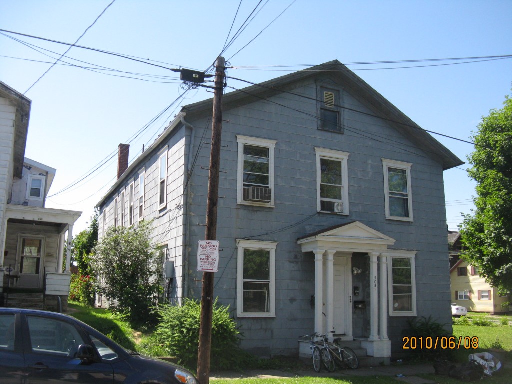
Address: 505 07 E 9 ST
Parcel: 15020026011200
Parcel Profile
Address
505 | 07 | E | 9 | ST
Street Status
PAVED | SIDEWALK
School District
CITY OF ERIE SCHOOL
Acreage
0.0955
Classification
A
Land Use Code
APARTMENTS 4 - 19 UNITS
Legal Description
505 07 E 9 ST 80X52
Square Feet
4896
Topo
LEVEL
Utility
ALL PUBLIC
Zoning
Please contact your municipal zoning officer
Deed Book
2021
Deed Page
027721
2026 Tax Values
Land Value / Taxable
5,200 / 5,200.00
Building Value / Taxable
41,100 / 41,100.00
Total Value / Taxable
46,300 / 46,300.00
Clean & Green
Inactive
Homestead Status
Inactive
Farmstead Status
Inactive
Lerta Amount
0
Lerta Expiration Year
0
Commercial Data
Card 1
RESIDENTIAL 4 FAMILY
Business Living Area - 4896
Year Built - 1887
Improvement Name - APARTMENTS
Value - 51100
Other Buildings & Yards
No OBY Data Found
Sales History
Sale Date
Type
Price
Book / Page
Other Info
10/15/2021
LAND & BUILDING
152500
2021 / 027721
SPECIAL WARRANTY DEED
2/16/2016
LAND & BUILDING
229500
2016 / 003171
SPECIAL WARRANTY DEED
10/29/2008
LAND & BUILDING
12000
1528 / 1463
SPECIAL WARRANTY DEED
12/31/1997
0
0536 / 0823
Parcel Sketches
Commercial Card 1
A
MAIN
1632 square feet
B
MAIN
1632 square feet
C
MAIN
1632 square feet
Parcel Images
Please note:
this tab is for informational purposes only and may not show all delinquencies, see the Taxes tab for more accurate delinquent taxes due.