Elected Officials
Courts
Departments
Initiatives
Open Government
About
Login / Register
Home
/
Property & Tax Records
/
Property Records
/
Property & Tax Search
/
Parcel Profile
/
Print View
Search for Another Parcel
Parcel Profile
Historical Card
Sketches
Photos
Tax Map
Taxes
Print View
Print This Page
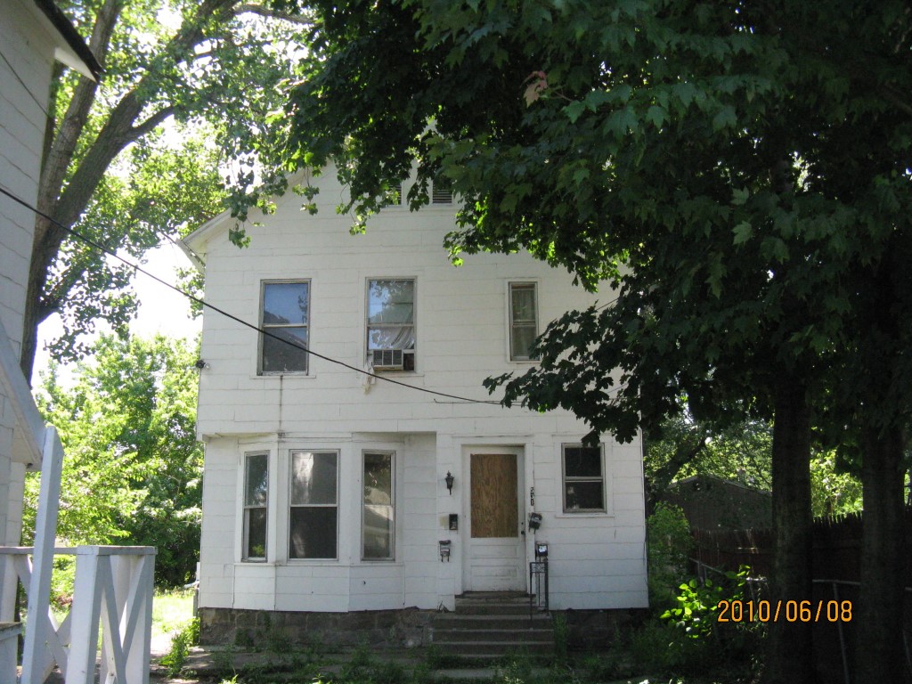
Address: 533 E 10 ST
Parcel: 15020027021600
Parcel Profile
Address
533 | E | 10 | ST
Street Status
PAVED | SIDEWALK
School District
CITY OF ERIE SCHOOL
Acreage
0.1882
Classification
A
Land Use Code
APARTMENTS 4 - 19 UNITS
Legal Description
533 E 10 ST 49.67 X 165
Square Feet
4380
Topo
LEVEL
Utility
ALL PUBLIC
Zoning
Please contact your municipal zoning officer
Deed Book
2024
Deed Page
006035
2026 Tax Values
Land Value / Taxable
10,300 / 10,300.00
Building Value / Taxable
19,600 / 19,600.00
Total Value / Taxable
29,900 / 29,900.00
Clean & Green
Inactive
Homestead Status
Inactive
Farmstead Status
Inactive
Lerta Amount
0
Lerta Expiration Year
0
Commercial Data
Card 2
RESIDENTIAL 4 FAMILY
Business Living Area - 4380
Year Built - 1902
Improvement Name - APARTMENTS
Value - 35200
Other Buildings & Yards
No OBY Data Found
Sales History
Sale Date
Type
Price
Book / Page
Other Info
4/23/2024
LAND & BUILDING
0
2024 / 006035
SPECIAL WARRANTY DEED
11/17/2010
LAND & BUILDING
10000
2010 / 028810
DEED
7/27/2010
LAND & BUILDING
0
2010 / 018211
SHERIFF'S DED
8/5/2008
LAND & BUILDING
86164
1513 / 0820
CORRECTIVE DEED
6/27/2007
LAND & BUILDING
0
1427 / 0602
DEED
4/20/2006
LAND & BUILDING
78700
1321 / 0704
DEED
7/1/2002
LAND & BUILDING
60000
896 / 528
1/6/2000
0
0682 / 0769
Parcel Sketches
Commercial Card 2
A
MAIN
1460 square feet
B
MAIN
1460 square feet
C
MAIN
1460 square feet
D
MAIN
730 square feet
Parcel Images
Please note:
this tab is for informational purposes only and may not show all delinquencies, see the Taxes tab for more accurate delinquent taxes due.