Elected Officials
Courts
Departments
Initiatives
Open Government
About
Login / Register
Home
/
Property & Tax Records
/
Property Records
/
Property & Tax Search
/
Parcel Profile
/
Print View
Search for Another Parcel
Parcel Profile
Historical Card
Sketches
Photos
Tax Map
Taxes
Print View
Print This Page
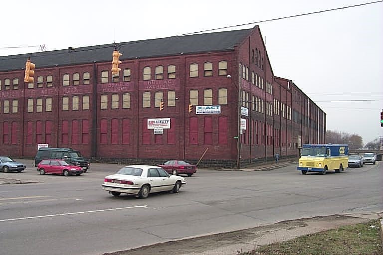
Address: 953 E 12 ST
Parcel: 15020040010100
Parcel Profile
Address
953 | E | 12 | ST
Street Status
PAVED
School District
CITY OF ERIE SCHOOL
Acreage
4.2075
Classification
I
Land Use Code
HEAVY INDUSTRIAL
Legal Description
953 E 12 ST 4.2075 AC
Square Feet
151568
Topo
LEVEL
Utility
ALL PUBLIC
Zoning
Please contact your municipal zoning officer
Deed Book
0722
Deed Page
0529
2026 Tax Values
Land Value / Taxable
100,000 / 100,000.00
Building Value / Taxable
240,000 / 240,000.00
Total Value / Taxable
340,000 / 340,000.00
Clean & Green
Inactive
Homestead Status
Inactive
Farmstead Status
Inactive
Lerta Amount
0
Lerta Expiration Year
0
Commercial Data
Card 1
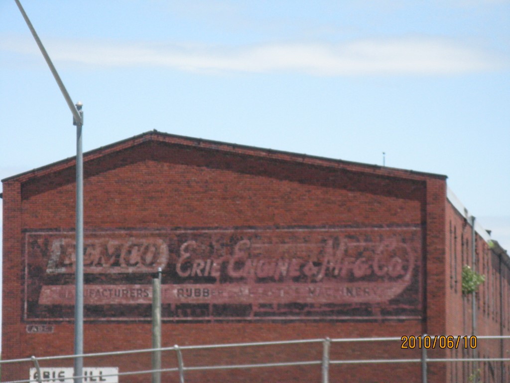
WAREHOUSE
Business Living Area - 151568
Year Built - 1900
Improvement Name - ERIE MAP CO
Value - 549680
Other Buildings & Yards
No OBY Data Found
Sales History
Sale Date
Type
Price
Book / Page
Other Info
8/23/2000
0
0722 / 0529
Parcel Sketches
Commercial Card 1
A
MAIN
13800 square feet
B
MAIN
13800 square feet
C
MAIN
1170 square feet
D
MAIN
630 square feet
E
MAIN
9828 square feet
F
MAIN
13104 square feet
G
MAIN
7308 square feet
H
MAIN
15120 square feet
I
MAIN
6360 square feet
J
MAIN
19920 square feet
K
MAIN
8640 square feet
L
MAIN
23240 square feet
M
MAIN
2640 square feet
N
MAIN
2208 square feet
Parcel Images
Please note:
this tab is for informational purposes only and may not show all delinquencies, see the Taxes tab for more accurate delinquent taxes due.