Elected Officials
Courts
Departments
Initiatives
Open Government
About
Login / Register
Home
/
Property & Tax Records
/
Property Records
/
Property & Tax Search
/
Parcel Profile
/
Print View
Search for Another Parcel
Parcel Profile
Historical Card
Sketches
Photos
Tax Map
Taxes
Print View
Print This Page
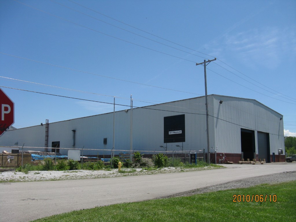
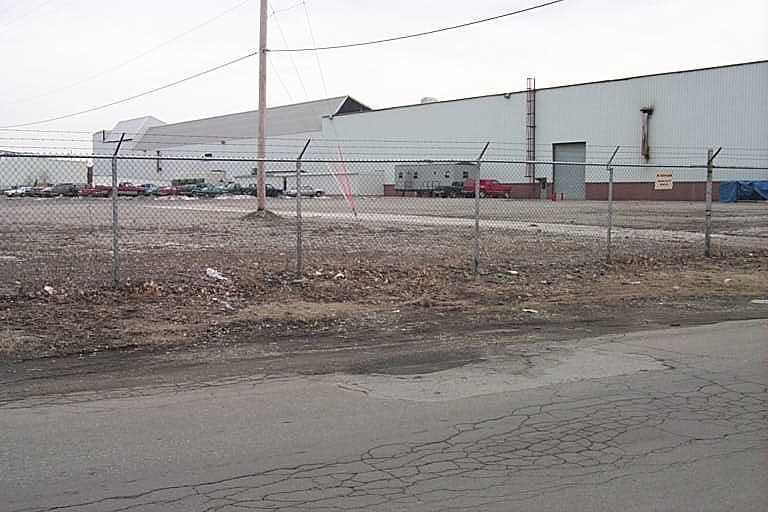
Address: 1411 WAYNE ST
Parcel: 15020040010500
Parcel Profile
Address
1411 | WAYNE | ST
Street Status
PAVED | SIDEWALK
School District
CITY OF ERIE SCHOOL
Acreage
6.6080
Classification
I
Land Use Code
LIGHT INDUSTRIAL
Legal Description
1411 WAYNE ST LOT 2 6.608 AC NET
Square Feet
64958
Topo
LEVEL
Utility
ALL PUBLIC
Zoning
Please contact your municipal zoning officer
Deed Book
2011
Deed Page
009595
2026 Tax Values
Land Value / Taxable
165,200 / 165,200.00
Building Value / Taxable
734,800 / 734,800.00
Total Value / Taxable
900,000 / 900,000.00
Clean & Green
Inactive
Homestead Status
Inactive
Farmstead Status
Inactive
Lerta Amount
0
Lerta Expiration Year
0
Commercial Data
Card 1
MFG/PROCESSING
Business Living Area - 63390
Year Built - 1900
Improvement Name - LPUSA TRANSPORTATION
Value - 403200
Card 2
OFFICE BLDG L/R 1-4S
Business Living Area - 1568
Year Built - 1985
Improvement Name -
Value - 79920
Other Buildings & Yards
No OBY Data Found
Sales History
Sale Date
Type
Price
Book / Page
Other Info
4/29/2011
LAND & BUILDING
980000
2011 / 009595
SPECIAL WARRANTY DEED
1/30/2008
LAND & BUILDING
0
1473 / 1478
CORRECTIVE DEED
1/23/2008
LAND & BUILDING
1255000
1472 / 1326
CORPORATE DEED
3/21/1997
0
0488 / 2264
Parcel Sketches
Commercial Card 1
A
MAIN
63390 square feet
Commercial Card 2
A
MAIN
1568 square feet
B
MAIN
1568 square feet
Parcel Images
Please note:
this tab is for informational purposes only and may not show all delinquencies, see the Taxes tab for more accurate delinquent taxes due.