Elected Officials
Courts
Departments
Initiatives
Open Government
About
Login / Register
Home
/
Property & Tax Records
/
Property Records
/
Property & Tax Search
/
Parcel Profile
/
Print View
Search for Another Parcel
Parcel Profile
Historical Card
Sketches
Photos
Tax Map
Taxes
Print View
Print This Page
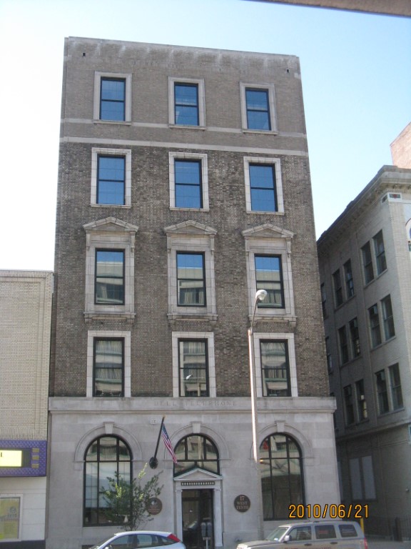
Address: 17 19 W 10 ST
Parcel: 16030004021300
Parcel Profile
Address
17 | 19 | W | 10 | ST
Street Status
PAVED | SIDEWALK
School District
CITY OF ERIE SCHOOL
Acreage
0.1722
Classification
C
Land Use Code
COMMERCIAL COMMON AREA
Legal Description
17 19 W 10 ST 50 X 150
Square Feet
14626
Topo
LEVEL
Utility
ALL PUBLIC
Zoning
Please contact your municipal zoning officer
Deed Book
1382
Deed Page
2134
2026 Tax Values
Land Value / Taxable
0 / 0.00
Building Value / Taxable
0 / 0.00
Total Value / Taxable
0 / 0.00
Clean & Green
Inactive
Homestead Status
Inactive
Farmstead Status
Inactive
Lerta Amount
0
Lerta Expiration Year
0
Commercial Data
Card 1
OFFICE CONDOMINIUM
Business Living Area - 14626
Year Built - 1928
Improvement Name - 1710 CONDOMINIUM
Value - 355920
Other Buildings & Yards
No OBY Data Found
Sales History
Sale Date
Type
Price
Book / Page
Other Info
12/14/2006
BUILDING
0
1382 / 2134
DEED
9/3/1982
0
1468 / 0585
11/9/1911
0
0186 / 0323
Parcel Sketches
Commercial Card 1
A
MAIN
2833 square feet
B
MAIN
2737 square feet
C
MAIN
2737 square feet
D
MAIN
2737 square feet
E
MAIN
2737 square feet
F
MAIN
941 square feet
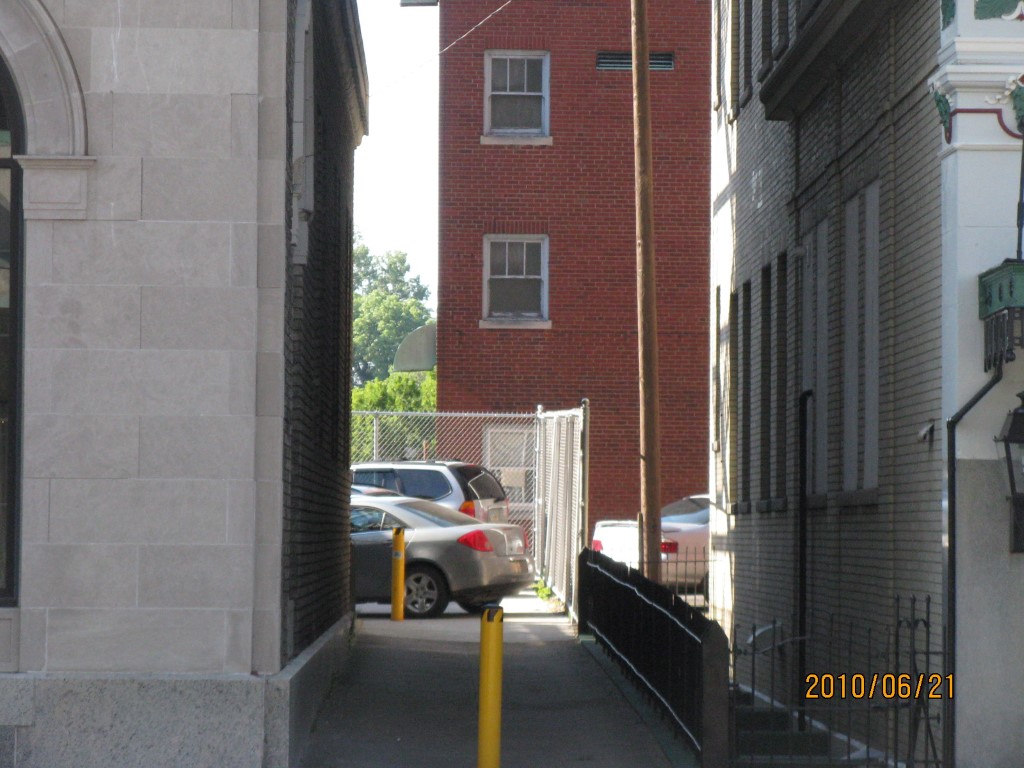
Parcel Images
Please note:
this tab is for informational purposes only and may not show all delinquencies, see the Taxes tab for more accurate delinquent taxes due.