Elected Officials
Courts
Departments
Initiatives
Open Government
About
Login / Register
Home
/
Property & Tax Records
/
Property Records
/
Property & Tax Search
/
Parcel Profile
/
Print View
Search for Another Parcel
Parcel Profile
Historical Card
Sketches
Photos
Tax Map
Taxes
Print View
Print This Page
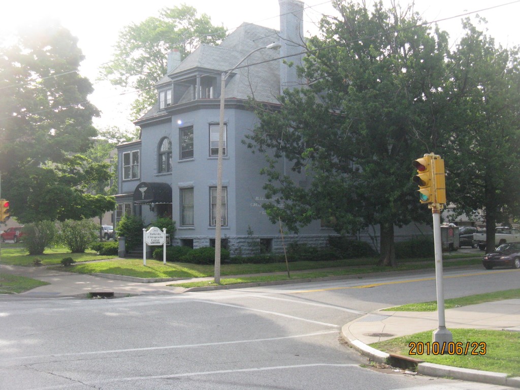
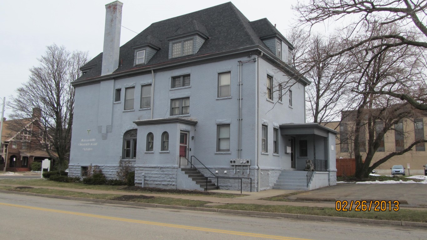
Address: 265 W 10 ST
Parcel: 16030014021000
Parcel Profile
Address
265 | W | 10 | ST
Street Status
PAVED | SIDEWALK
School District
CITY OF ERIE SCHOOL
Acreage
0.2604
Classification
C
Land Use Code
OFFICE BLDGS/LABS/LIBRARIES
Legal Description
265 W 10 ST 68.75 X 165
Square Feet
3858
Topo
LEVEL
Utility
ALL PUBLIC
Zoning
Please contact your municipal zoning officer
Deed Book
2023
Deed Page
014694
2026 Tax Values
Land Value / Taxable
45,400 / 45,400.00
Building Value / Taxable
79,200 / 79,200.00
Total Value / Taxable
124,600 / 124,600.00
Clean & Green
Inactive
Homestead Status
Inactive
Farmstead Status
Inactive
Lerta Amount
0
Lerta Expiration Year
0
Commercial Data
Card 1
MIXED RESIDENTIAL/COMMERCIAL
Business Living Area - 3858
Year Built - 1892
Improvement Name - APARTMENTS
Value - 111080
Other Buildings & Yards
No OBY Data Found
Sales History
Sale Date
Type
Price
Book / Page
Other Info
9/1/2023
LAND & BUILDING
198000
2023 / 014694
SPECIAL WARRANTY DEED
11/20/2009
LAND & BUILDING
70000
1604 / 1215
SPECIAL WARRANTY DEED
1/1/1966
0
846 / 224
Parcel Sketches
Commercial Card 1
A
MAIN
1910 square feet
B
MAIN
1948 square feet
C
MAIN
1910 square feet
D
MAIN
955 square feet
Parcel Images
Please note:
this tab is for informational purposes only and may not show all delinquencies, see the Taxes tab for more accurate delinquent taxes due.