Elected Officials
Courts
Departments
Initiatives
Open Government
About
Login / Register
Home
/
Property & Tax Records
/
Property Records
/
Property & Tax Search
/
Parcel Profile
/
Print View
Search for Another Parcel
Parcel Profile
Historical Card
Sketches
Photos
Tax Map
Taxes
Print View
Print This Page
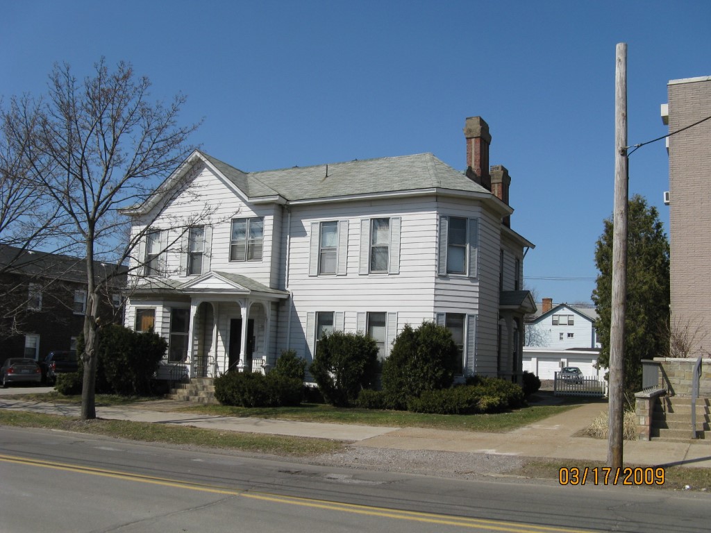
Address: 254 W 9 ST
Parcel: 16030015021900
Parcel Profile
Address
254 | W | 9 | ST
Street Status
PAVED | SIDEWALK
School District
CITY OF ERIE SCHOOL
Acreage
0.3487
Classification
A
Land Use Code
APARTMENTS 4 - 19 UNITS
Legal Description
254 W 9 ST 98 X 155
Square Feet
7132
Topo
LEVEL
Utility
ALL PUBLIC
Zoning
Please contact your municipal zoning officer
Deed Book
2020
Deed Page
009409
2026 Tax Values
Land Value / Taxable
22,800 / 22,800.00
Building Value / Taxable
109,600 / 109,600.00
Total Value / Taxable
132,400 / 132,400.00
Clean & Green
Inactive
Homestead Status
Inactive
Farmstead Status
Inactive
Lerta Amount
0
Lerta Expiration Year
0
Commercial Data
Card 1
MIXED RESIDENTIAL/COMMERCIAL
Business Living Area - 7132
Year Built - 1900
Improvement Name - CONVERTED HOUSE
Value - 107330
Other Buildings & Yards
Description
Built
Width
Length
Area
FRAME UTILITY SHED
1930
0
0
519
Sales History
Sale Date
Type
Price
Book / Page
Other Info
5/29/2020
LAND & BUILDING
251000
2020 / 009409
SPECIAL WARRANTY DEED
10/16/2015
LAND & BUILDING
185000
2015 / 023123
DEED
9/16/2003
LAND & BUILDING
260000
1064 / 1969
WARRANTY/SURVIVORSHIP DEED
5/6/1985
0
1578 / 0541
Parcel Sketches
Commercial Card 1
A
MAIN
1852 square feet
B
MAIN
2656 square feet
C
MAIN
2624 square feet
Parcel Images
Please note:
this tab is for informational purposes only and may not show all delinquencies, see the Taxes tab for more accurate delinquent taxes due.