Elected Officials
Courts
Departments
Initiatives
Open Government
About
Login / Register
Home
/
Property & Tax Records
/
Property Records
/
Property & Tax Search
/
Parcel Profile
/
Print View
Search for Another Parcel
Parcel Profile
Historical Card
Sketches
Photos
Tax Map
Taxes
Print View
Print This Page
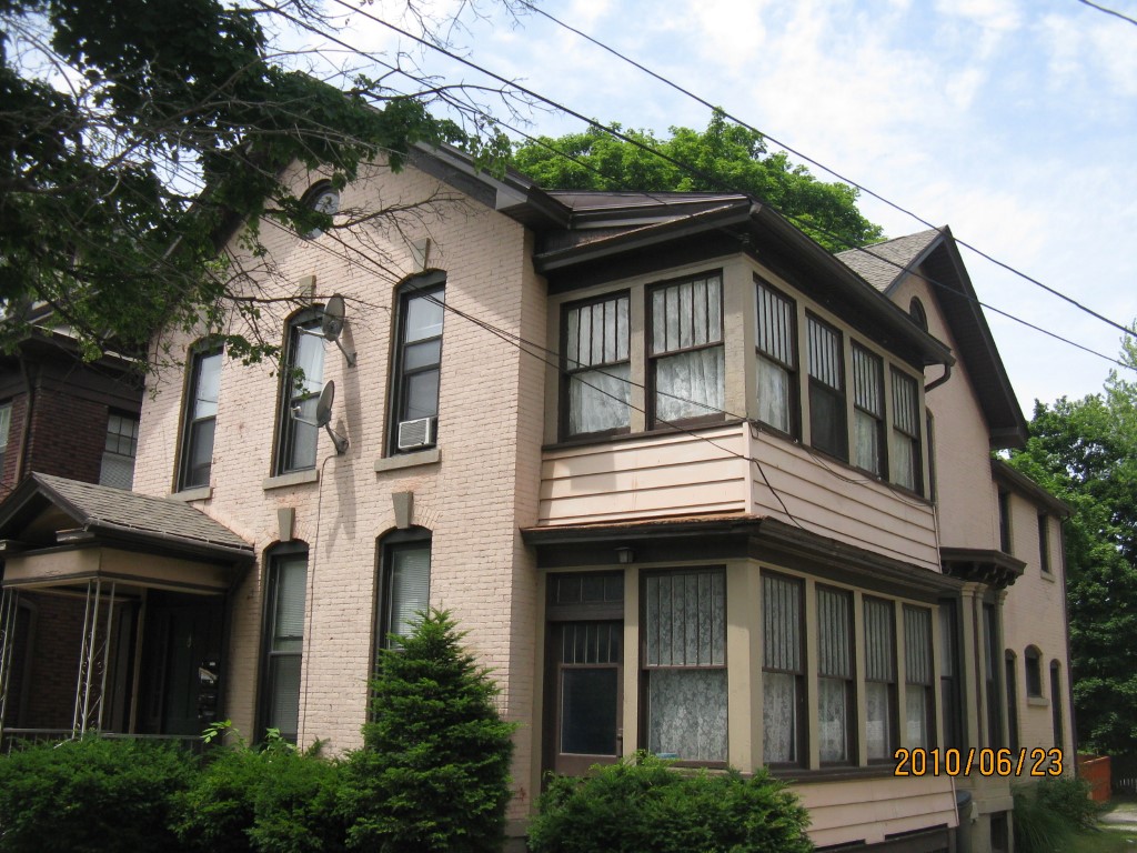
Address: 356 58 W 10 ST
Parcel: 16030020012800
Parcel Profile
Address
356 | 58 | W | 10 | ST
Street Status
PAVED | SIDEWALK
School District
CITY OF ERIE SCHOOL
Acreage
0.1752
Classification
A
Land Use Code
APARTMENTS 4 - 19 UNITS
Legal Description
356 58 W 10 ST 46.5 X 165
Square Feet
4428
Topo
LEVEL
Utility
ALL PUBLIC
Zoning
Please contact your municipal zoning officer
Deed Book
2021
Deed Page
022481
2026 Tax Values
Land Value / Taxable
11,400 / 11,400.00
Building Value / Taxable
94,000 / 94,000.00
Total Value / Taxable
105,400 / 105,400.00
Clean & Green
Inactive
Homestead Status
Inactive
Farmstead Status
Inactive
Lerta Amount
0
Lerta Expiration Year
0
Commercial Data
Card 1
MIXED RESIDENTIAL/COMMERCIAL
Business Living Area - 4428
Year Built - 1873
Improvement Name - APARTMENTS
Value - 82800
Other Buildings & Yards
No OBY Data Found
Sales History
Sale Date
Type
Price
Book / Page
Other Info
8/23/2021
LAND & BUILDING
225000
2021 / 022481
SPECIAL WARRANTY DEED
7/13/2005
LAND & BUILDING
0
1250 / 2317
QUIT CLAIM DEED
4/1/2004
LAND & BUILDING
89000
1120 / 1108
SPECIAL WARRANTY DEED
3/30/1994
0
0326 / 0909
Parcel Sketches
Commercial Card 1
A
MAIN
1424 square feet
B
MAIN
1424 square feet
C
MAIN
1424 square feet
D
MAIN
78 square feet
E
MAIN
78 square feet
Parcel Images
Please note:
this tab is for informational purposes only and may not show all delinquencies, see the Taxes tab for more accurate delinquent taxes due.