Elected Officials
Courts
Departments
Initiatives
Open Government
About
Login / Register
Home
/
Property & Tax Records
/
Property Records
/
Property & Tax Search
/
Parcel Profile
/
Print View
Search for Another Parcel
Parcel Profile
Historical Card
Sketches
Photos
Tax Map
Taxes
Print View
Print This Page
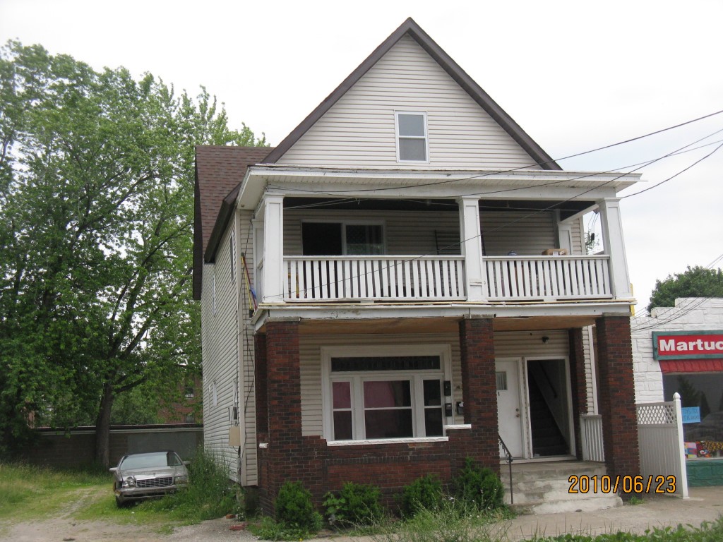
Address: 439 W 8 ST
Parcel: 16030025024100
Parcel Profile
Address
439 | W | 8 | ST
Street Status
PAVED
School District
CITY OF ERIE SCHOOL
Acreage
0.0747
Classification
A
Land Use Code
APARTMENTS 4 - 19 UNITS
Legal Description
439 W 8 ST 28.37 X 115
Square Feet
4734
Topo
LEVEL
Utility
ALL PUBLIC
Zoning
Please contact your municipal zoning officer
Deed Book
2019
Deed Page
007508
2026 Tax Values
Land Value / Taxable
6,500 / 6,500.00
Building Value / Taxable
74,700 / 74,700.00
Total Value / Taxable
81,200 / 81,200.00
Clean & Green
Inactive
Homestead Status
Inactive
Farmstead Status
Inactive
Lerta Amount
0
Lerta Expiration Year
0
Commercial Data
Card 1
RESIDENTIAL 4 FAMILY
Business Living Area - 4734
Year Built - 1881
Improvement Name - APARTMENTS
Value - 75450
Other Buildings & Yards
No OBY Data Found
Sales History
Sale Date
Type
Price
Book / Page
Other Info
4/29/2019
LAND & BUILDING
30500
2019 / 007508
SPECIAL WARRANTY DEED
1/18/2019
LAND & BUILDING
0
2019 / 001079
DEED
10/22/2008
LAND & BUILDING
89500
1527 / 0696
DEED
7/20/2006
LAND & BUILDING
22000
1346 / 0416
DEED
4/7/2006
LAND & BUILDING
0
1318 / 0626
SHERIFF'S DED
8/7/2003
LAND & BUILDING
0
1047 / 1020
QUIT CLAIM DEED
10/9/2000
0
0731 / 0572
Parcel Sketches
Commercial Card 1
A
MAIN
1578 square feet
B
MAIN
1578 square feet
C
MAIN
1578 square feet
D
MAIN
789 square feet
Parcel Images
Please note:
this tab is for informational purposes only and may not show all delinquencies, see the Taxes tab for more accurate delinquent taxes due.