Elected Officials
Courts
Departments
Initiatives
Open Government
About
Login / Register
Home
/
Property & Tax Records
/
Property Records
/
Property & Tax Search
/
Parcel Profile
/
Print View
Search for Another Parcel
Parcel Profile
Historical Card
Sketches
Photos
Tax Map
Taxes
Print View
Print This Page
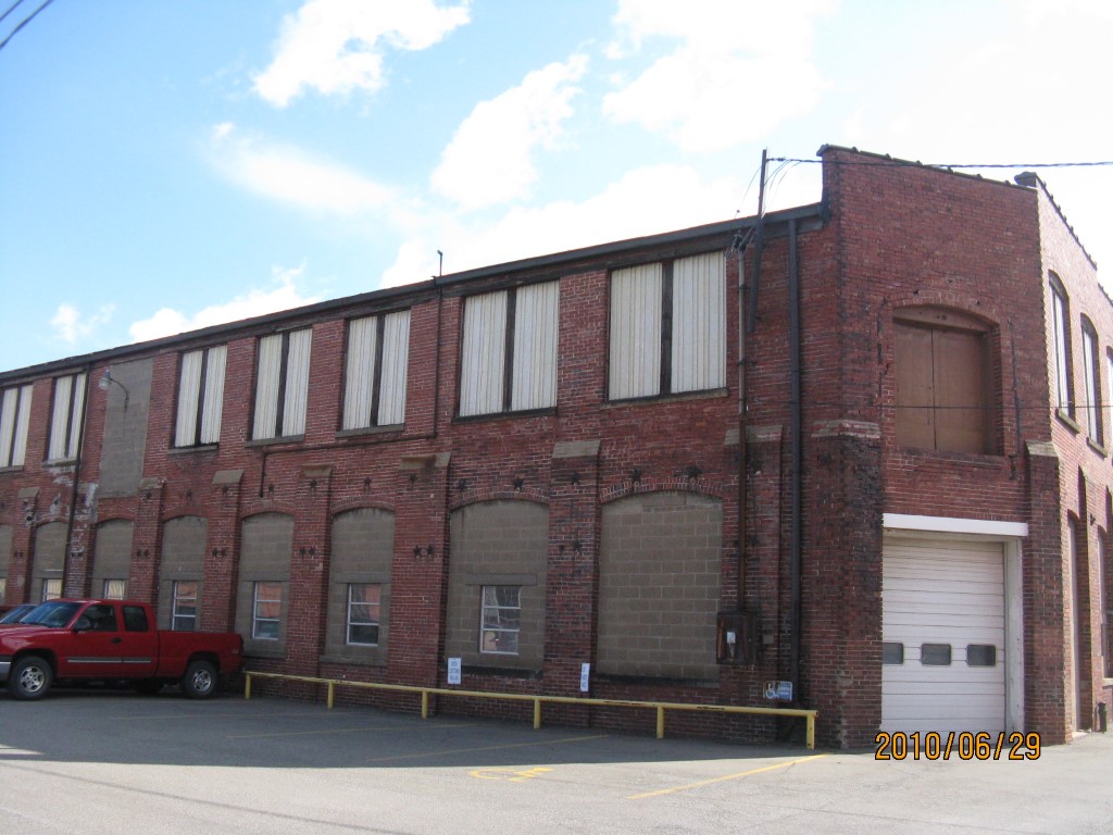
Address: 1501 B CHERRY STREET
Parcel: 16030027021300
Parcel Profile
Address
1501 | B CHERRY | STREET
Street Status
PAVED | SIDEWALK
School District
CITY OF ERIE SCHOOL
Acreage
0.3360
Classification
I
Land Use Code
HEAVY INDUSTRIAL
Legal Description
1501 B CHERRY 83.25 X IRR
Square Feet
17447
Topo
LEVEL
Utility
ALL PUBLIC
Zoning
Please contact your municipal zoning officer
Deed Book
2022
Deed Page
020593
2026 Tax Values
Land Value / Taxable
29,300 / 29,300.00
Building Value / Taxable
72,100 / 72,100.00
Total Value / Taxable
101,400 / 101,400.00
Clean & Green
Inactive
Homestead Status
Inactive
Farmstead Status
Inactive
Lerta Amount
0
Lerta Expiration Year
0
Commercial Data
Card 1
MFG/PROCESSING
Business Living Area - 17447
Year Built - 1901
Improvement Name - PERES PATTERN CO.
Value - 167620
Other Buildings & Yards
No OBY Data Found
Sales History
Sale Date
Type
Price
Book / Page
Other Info
9/20/2022
LAND & BUILDING
85000
2022 / 020593
SPECIAL WARRANTY DEED
1/25/1974
0
1113 / 0052
Parcel Sketches
Commercial Card 1
A
MAIN
4504 square feet
B
MAIN
4504 square feet
C
MAIN
312 square feet
D
MAIN
3491 square feet
E
MAIN
3116 square feet
F
MAIN
1520 square feet
Parcel Images
Please note:
this tab is for informational purposes only and may not show all delinquencies, see the Taxes tab for more accurate delinquent taxes due.