Elected Officials
Courts
Departments
Initiatives
Open Government
About
Login / Register
Home
/
Property & Tax Records
/
Property Records
/
Property & Tax Search
/
Parcel Profile
/
Print View
Search for Another Parcel
Parcel Profile
Historical Card
Sketches
Photos
Tax Map
Taxes
Print View
Print This Page
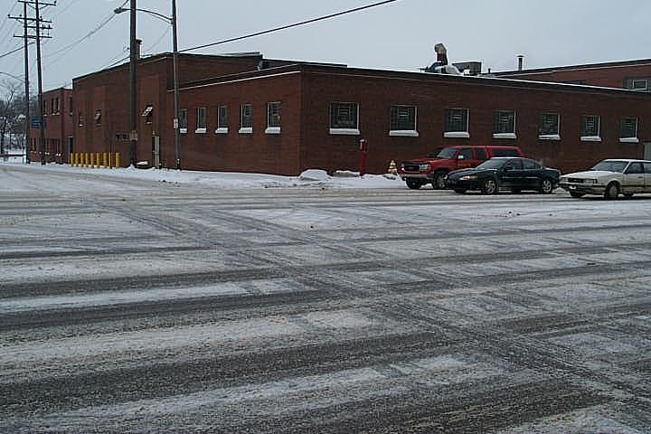
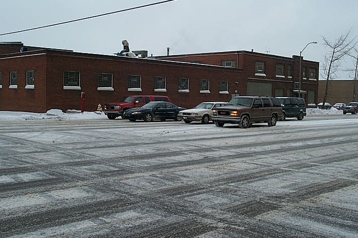
Address: 552 W 12 ST
Parcel: 16030029012700
Parcel Profile
Address
552 | W | 12 | ST
Street Status
PAVED
School District
CITY OF ERIE SCHOOL
Acreage
1.5360
Classification
I
Land Use Code
LIGHT INDUSTRIAL
Legal Description
552 W 12 ST 1.536 AC
Square Feet
59919
Topo
LEVEL
Utility
ALL PUBLIC
Zoning
Please contact your municipal zoning officer
Deed Book
1432
Deed Page
2264
2026 Tax Values
Land Value / Taxable
207,400 / 207,400.00
Building Value / Taxable
604,300 / 604,300.00
Total Value / Taxable
811,700 / 811,700.00
Clean & Green
Inactive
Homestead Status
Inactive
Farmstead Status
Inactive
Lerta Amount
0
Lerta Expiration Year
0
Commercial Data
Card 1
MFG/PROCESSING
Business Living Area - 59919
Year Built - 1920
Improvement Name - AMERICAN TINNING
Value - 587830
Other Buildings & Yards
No OBY Data Found
Sales History
Sale Date
Type
Price
Book / Page
Other Info
7/19/2007
LAND & BUILDING
0
1432 / 2264
WARRANTY/SURVIVORSHIP DEED
6/17/1997
0
0503 / 1925
Parcel Sketches
Commercial Card 1
A
MAIN
41999 square feet
B
MAIN
3240 square feet
C
MAIN
3240 square feet
D
MAIN
5720 square feet
E
MAIN
5720 square feet
Parcel Images
Please note:
this tab is for informational purposes only and may not show all delinquencies, see the Taxes tab for more accurate delinquent taxes due.