Elected Officials
Courts
Departments
Initiatives
Open Government
About
Login / Register
Home
/
Property & Tax Records
/
Property Records
/
Property & Tax Search
/
Parcel Profile
/
Print View
Search for Another Parcel
Parcel Profile
Historical Card
Sketches
Photos
Tax Map
Taxes
Print View
Print This Page
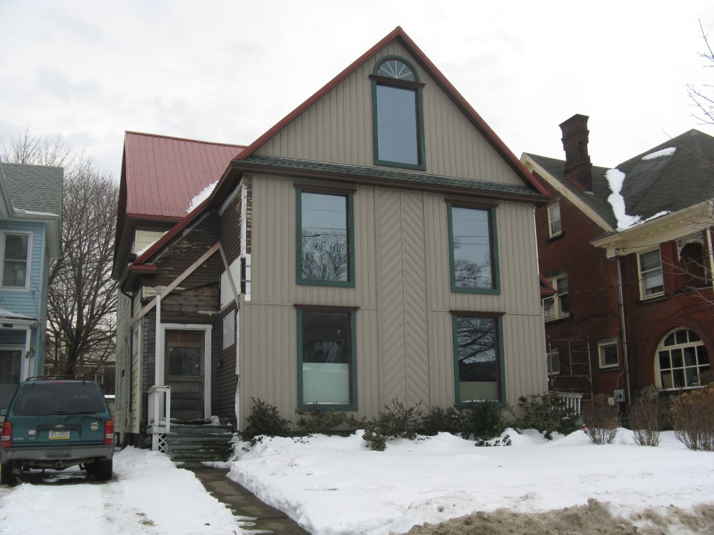
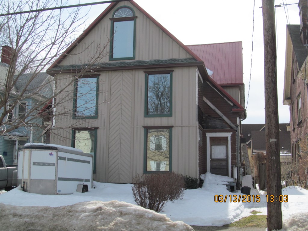
Address: 531 33 W 9 ST
Parcel: 16030030011200
Parcel Profile
Address
531 | 33 | W | 9 | ST
Street Status
PAVED | SIDEWALK
School District
CITY OF ERIE SCHOOL
Acreage
0.1894
Classification
A
Land Use Code
APARTMENTS 4 - 19 UNITS
Legal Description
531 3 W 9 ST 50 X 165
Square Feet
6718
Topo
LEVEL
Utility
ALL PUBLIC
Zoning
Please contact your municipal zoning officer
Deed Book
1416
Deed Page
2194
2026 Tax Values
Land Value / Taxable
8,000 / 8,000.00
Building Value / Taxable
11,536 / 11,536.00
Total Value / Taxable
19,536 / 19,536.00
Clean & Green
Inactive
Homestead Status
Inactive
Farmstead Status
Inactive
Lerta Amount
0
Lerta Expiration Year
0
Commercial Data
Card 1
RESIDENTIAL 4 FAMILY
Business Living Area - 6718
Year Built - 1897
Improvement Name - APARTMENTS
Value - 108010
Other Buildings & Yards
No OBY Data Found
Sales History
Sale Date
Type
Price
Book / Page
Other Info
5/18/2007
LAND & BUILDING
50000
1416 / 2194
DEED
3/7/2007
LAND & BUILDING
0
1399 / 1079
SHERIFF'S DED
4/9/2003
LAND & BUILDING
0
996 / 1243
AFFIDAVIT
10/9/2000
0
0731 / 0596
6/8/1999
LAND & BUILDING
97000
641 / 1747
Parcel Sketches
Commercial Card 1
A
MAIN
1469 square feet
B
MAIN
1560 square feet
C
MAIN
1469 square feet
D
MAIN
525 square feet
E
MAIN
525 square feet
F
MAIN
394 square feet
G
MAIN
776 square feet
Parcel Images
Please note:
this tab is for informational purposes only and may not show all delinquencies, see the Taxes tab for more accurate delinquent taxes due.