Elected Officials
Courts
Departments
Initiatives
Open Government
About
Login / Register
Home
/
Property & Tax Records
/
Property Records
/
Property & Tax Search
/
Parcel Profile
/
Print View
Search for Another Parcel
Parcel Profile
Historical Card
Sketches
Photos
Tax Map
Taxes
Print View
Print This Page
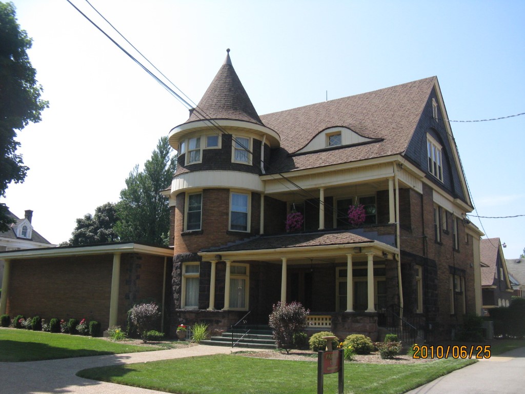
Address: 536 W 10TH ST
Parcel: 16030030012900
Parcel Profile
Address
536 | W | 10TH | ST
Street Status
PAVED
School District
CITY OF ERIE SCHOOL
Acreage
0.2689
Classification
C
Land Use Code
RESTAURANTS, STORES (RETAIL)
Legal Description
536 W 10TH ST 71 X 165
Square Feet
6255
Topo
LEVEL
Utility
ALL PUBLIC
Zoning
Please contact your municipal zoning officer
Deed Book
0819
Deed Page
1020
2026 Tax Values
Land Value / Taxable
29,300 / 29,300.00
Building Value / Taxable
215,600 / 215,600.00
Total Value / Taxable
244,900 / 244,900.00
Clean & Green
Inactive
Homestead Status
Inactive
Farmstead Status
Inactive
Lerta Amount
0
Lerta Expiration Year
0
Commercial Data
Card 1
FUNERAL HOME
Business Living Area - 6255
Year Built - 1878
Improvement Name - DUSCKAS FUNERAL HOME
Value - 225490
Other Buildings & Yards
Description
Built
Width
Length
Area
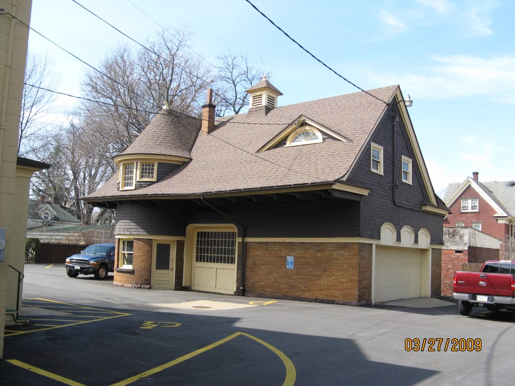
FRAME OR CB DETACHED GARAGE
1898
0
0
1686
Sales History
Sale Date
Type
Price
Book / Page
Other Info
10/24/2001
0
0819 / 1020
Parcel Sketches
Commercial Card 1
A
MAIN
1189 square feet
B
MAIN
1189 square feet
C
MAIN
1189 square feet
D
MAIN
595 square feet
E
MAIN
2093 square feet
F
MAIN
2093 square feet
Parcel Images
Please note:
this tab is for informational purposes only and may not show all delinquencies, see the Taxes tab for more accurate delinquent taxes due.