Elected Officials
Courts
Departments
Initiatives
Open Government
About
Login / Register
Home
/
Property & Tax Records
/
Property Records
/
Property & Tax Search
/
Parcel Profile
/
Print View
Search for Another Parcel
Parcel Profile
Historical Card
Sketches
Photos
Tax Map
Taxes
Print View
Print This Page
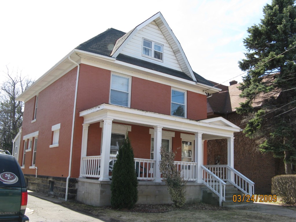
Address: 631 W 9 ST
Parcel: 16030035011300
Parcel Profile
Address
631 | W | 9 | ST
Street Status
PAVED
School District
CITY OF ERIE SCHOOL
Acreage
0.1515
Classification
R
Land Use Code
SINGLE FAMILY
Legal Description
631 W 9 ST 40 X 165
Square Feet
1830
Topo
LEVEL
Utility
ALL PUBLIC
Zoning
Please contact your municipal zoning officer
Deed Book
0146
Deed Page
2239
2026 Tax Values
Land Value / Taxable
9,600 / 9,600.00
Building Value / Taxable
65,210 / 65,210.00
Total Value / Taxable
74,810 / 74,810.00
Clean & Green
Inactive
Homestead Status
Active
Farmstead Status
Inactive
Lerta Amount
0.00
Lerta Expiration Year
2007
Residential Data
Card 1
Style
OLD STYLE
Basement
FULL
Year Built
1907
Exterior Wall
BRICK
Total Living Area
1830
Full Baths
2
Half Baths
0
Fuel Type
GAS
Heating
CENTRAL
Heating System
FORCED AIR
Stories
2.0
Total Bedrooms
3
Total Family Rooms
0
Total Rooms
8
Fireplaces
0
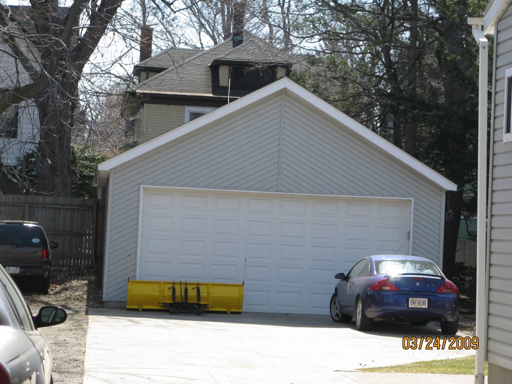
Other Buildings & Yards
No OBY Data Found
Sales History
Sale Date
Type
Price
Book / Page
Other Info
12/21/1990
0
0146 / 2239
Parcel Sketches
Residential Card 1
A
MAIN
858 square feet
B
1S FR ONE STORY FRAME
114 square feet
C
OFP OPEN FRAME PORCH
168 square feet
Parcel Images
Please note:
this tab is for informational purposes only and may not show all delinquencies, see the Taxes tab for more accurate delinquent taxes due.