Elected Officials
Courts
Departments
Initiatives
Open Government
About
Login / Register
Home
/
Property & Tax Records
/
Property Records
/
Property & Tax Search
/
Parcel Profile
/
Print View
Search for Another Parcel
Parcel Profile
Historical Card
Sketches
Photos
Tax Map
Taxes
Print View
Print This Page
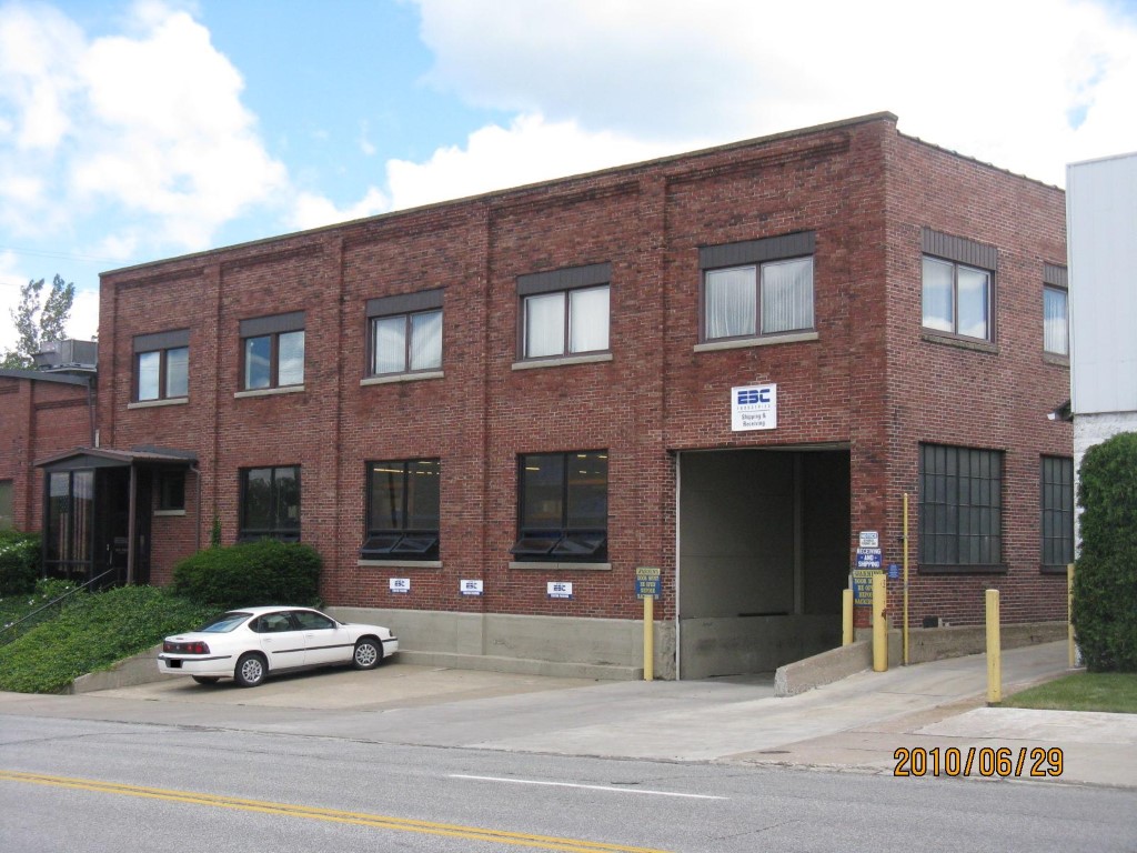
Address: 1325 LIBERTY ST
Parcel: 16030038010100
Parcel Profile
Address
1325 | LIBERTY | ST
Street Status
PAVED
School District
CITY OF ERIE SCHOOL
Acreage
1.3085
Classification
I
Land Use Code
HEAVY INDUSTRIAL
Legal Description
1325 LIBERTY ST 57,000 SQ FT 1.3085 AC
Square Feet
46920
Topo
ROLLING
Utility
ALL PUBLIC
Zoning
Please contact your municipal zoning officer
Deed Book
2018
Deed Page
012659
2026 Tax Values
Land Value / Taxable
114,000 / 114,000.00
Building Value / Taxable
248,500 / 248,500.00
Total Value / Taxable
362,500 / 362,500.00
Clean & Green
Inactive
Homestead Status
Inactive
Farmstead Status
Inactive
Lerta Amount
0.00
Lerta Expiration Year
2017
Commercial Data
Card 1
WAREHOUSE
Business Living Area - 46920
Year Built - 1900
Improvement Name - ERIE BOLT AND NUT CORP
Value - 413720
Other Buildings & Yards
No OBY Data Found
Sales History
Sale Date
Type
Price
Book / Page
Other Info
6/27/2018
LAND & BUILDING
127000
2018 / 012659
SPECIAL WARRANTY DEED
12/20/1982
0
1481 / 0271
Parcel Sketches
Commercial Card 1
A
MAIN
4040 square feet
B
MAIN
4040 square feet
C
MAIN
2850 square feet
D
MAIN
4800 square feet
E
MAIN
1080 square feet
F
MAIN
3053 square feet
G
MAIN
23624 square feet
H
MAIN
2537 square feet
I
MAIN
896 square feet
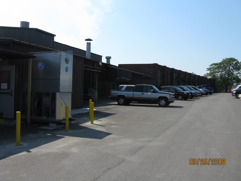
Parcel Images
Please note:
this tab is for informational purposes only and may not show all delinquencies, see the Taxes tab for more accurate delinquent taxes due.