Elected Officials
Courts
Departments
Initiatives
Open Government
About
Login / Register
Home
/
Property & Tax Records
/
Property Records
/
Property & Tax Search
/
Parcel Profile
/
Print View
Search for Another Parcel
Parcel Profile
Historical Card
Sketches
Photos
Tax Map
Taxes
Print View
Print This Page
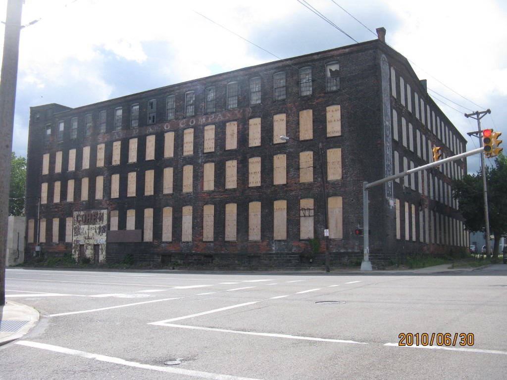
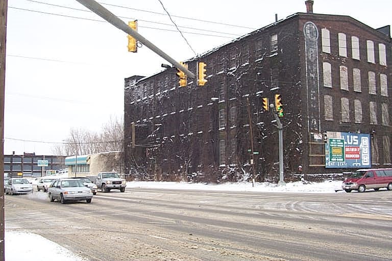
Address: 1053 W 12 ST
Parcel: 16030050010400
Parcel Profile
Address
1053 | W | 12 | ST
Street Status
PAVED | SIDEWALK
School District
CITY OF ERIE SCHOOL
Acreage
1.5890
Classification
C
Land Use Code
RESTAURANTS, STORES (RETAIL)
Legal Description
1053 W 12 ST 1.589 AC
Square Feet
63550
Topo
LEVEL
Utility
ALL PUBLIC
Zoning
Please contact your municipal zoning officer
Deed Book
2017
Deed Page
003307
2026 Tax Values
Land Value / Taxable
111,200 / 111,200.00
Building Value / Taxable
106,500 / 106,500.00
Total Value / Taxable
217,700 / 217,700.00
Clean & Green
Inactive
Homestead Status
Inactive
Farmstead Status
Inactive
Lerta Amount
0
Lerta Expiration Year
0
Commercial Data
Card 1
RETAIL SINGLE OCCUP
Business Living Area - 63550
Year Built - 1897
Improvement Name - COST PLUS
Value - 409220
Other Buildings & Yards
No OBY Data Found
Sales History
Sale Date
Type
Price
Book / Page
Other Info
2/16/2017
LAND & BUILDING
26009
2017 / 003307
TAX DEED
12/24/2012
LAND & BUILDING
100000
2013 / 034849
DEED
9/16/2003
LAND & BUILDING
50000
1065 / 0451
DEED
10/14/1998
0
0593 / 1732
Parcel Sketches
Commercial Card 1
A
MAIN
11270 square feet
B
MAIN
11270 square feet
C
MAIN
11270 square feet
D
MAIN
7200 square feet
Parcel Images
Please note:
this tab is for informational purposes only and may not show all delinquencies, see the Taxes tab for more accurate delinquent taxes due.