Elected Officials
Courts
Departments
Initiatives
Open Government
About
Login / Register
Home
/
Property & Tax Records
/
Property Records
/
Property & Tax Search
/
Parcel Profile
/
Print View
Search for Another Parcel
Parcel Profile
Historical Card
Sketches
Photos
Tax Map
Taxes
Print View
Print This Page
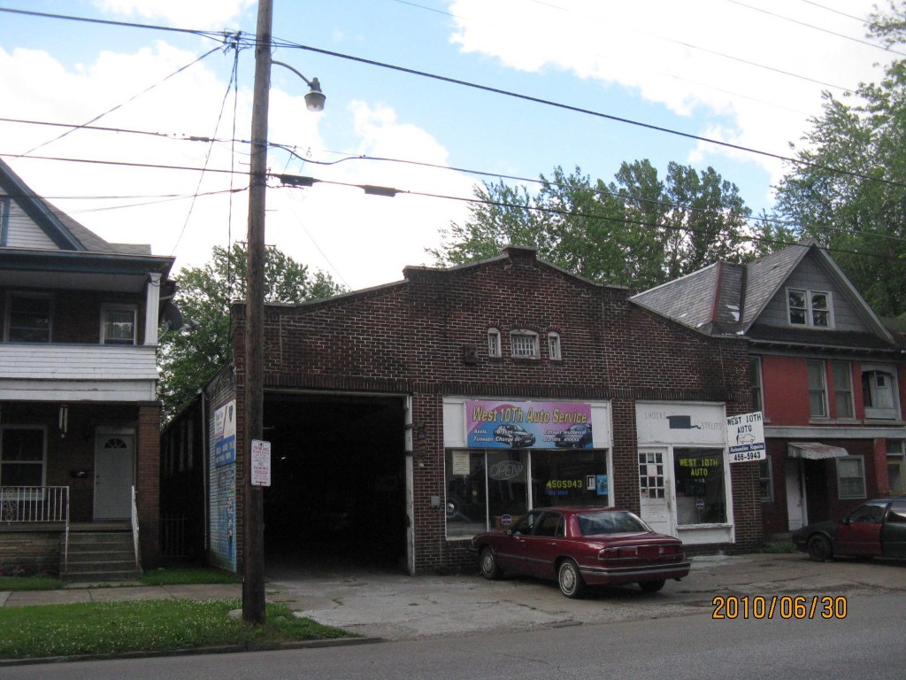
Address: 1021 W 10 ST
Parcel: 16030051021300
Parcel Profile
Address
1021 | W | 10 | ST
Street Status
PAVED | SIDEWALK
School District
CITY OF ERIE SCHOOL
Acreage
0.1562
Classification
C
Land Use Code
GARAGES/SHOP/CAR DEALERS
Legal Description
1021 W 10 ST 41.25 X 165
Square Feet
6400
Topo
LEVEL
Utility
ALL PUBLIC
Zoning
Please contact your municipal zoning officer
Deed Book
2022
Deed Page
010641
2026 Tax Values
Land Value / Taxable
13,600 / 13,600.00
Building Value / Taxable
52,900 / 52,900.00
Total Value / Taxable
66,500 / 66,500.00
Clean & Green
Inactive
Homestead Status
Inactive
Farmstead Status
Inactive
Lerta Amount
0
Lerta Expiration Year
0
Commercial Data
Card 1
AUTO SERVICE GARAGE
Business Living Area - 6400
Year Built - 1911
Improvement Name - RHODE'S AUTO SERVICE
Value - 52930
Other Buildings & Yards
No OBY Data Found
Sales History
Sale Date
Type
Price
Book / Page
Other Info
5/19/2022
LAND & BUILDING
0
2022 / 010641
QUIT CLAIM DEED
11/4/2021
LAND & BUILDING
0
2021 / 029584
QUIT CLAIM DEED
9/20/2010
LAND & BUILDING
0
2010 / 023203
DEED
1/4/2010
LAND & BUILDING
55000
2010 / 000044
DEED
7/20/1998
0
0575 / 0644
Parcel Sketches
Commercial Card 1
A
MAIN
336 square feet
B
MAIN
5789 square feet
C
MAIN
611 square feet
D
MAIN
495 square feet
Parcel Images
Please note:
this tab is for informational purposes only and may not show all delinquencies, see the Taxes tab for more accurate delinquent taxes due.